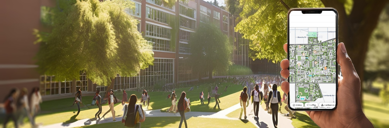

Vicinia Campus Maps is an interactive campus map solution that transforms outdoor environments into intuitive digital experiences. Powered by scalable digital mapping tools, it enables wayfinding, accessibility, safety visualization, and engagement through responsive interactive maps designed for campuses, venues, and public environments.








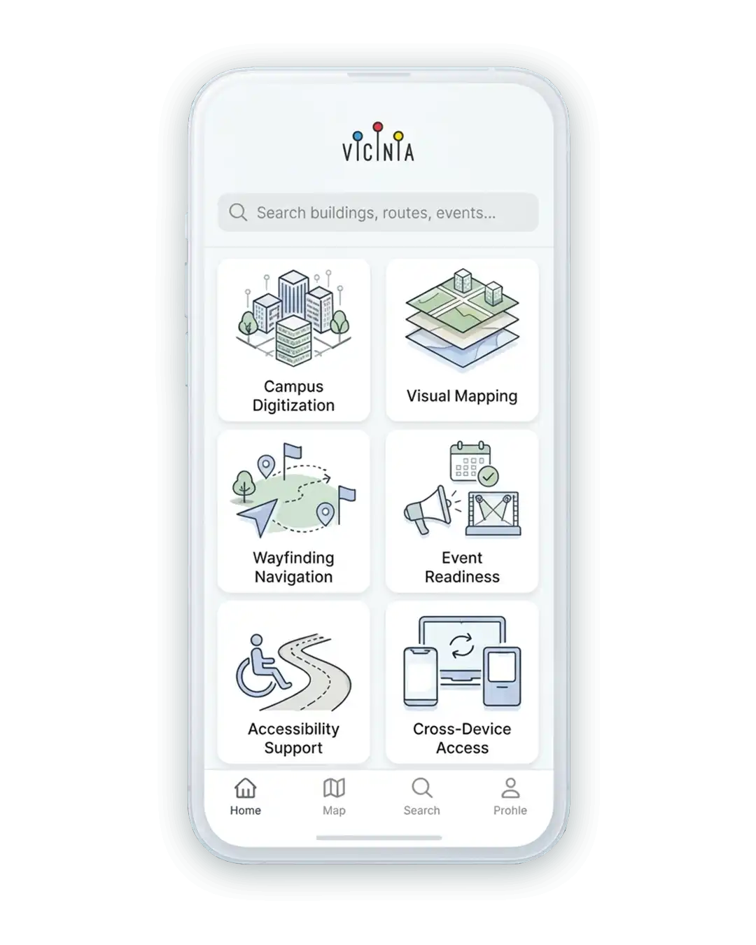
Campus Digitization
Digitizes entire campuses including buildings, landscapes, and outdoor assets
Visual Mapping
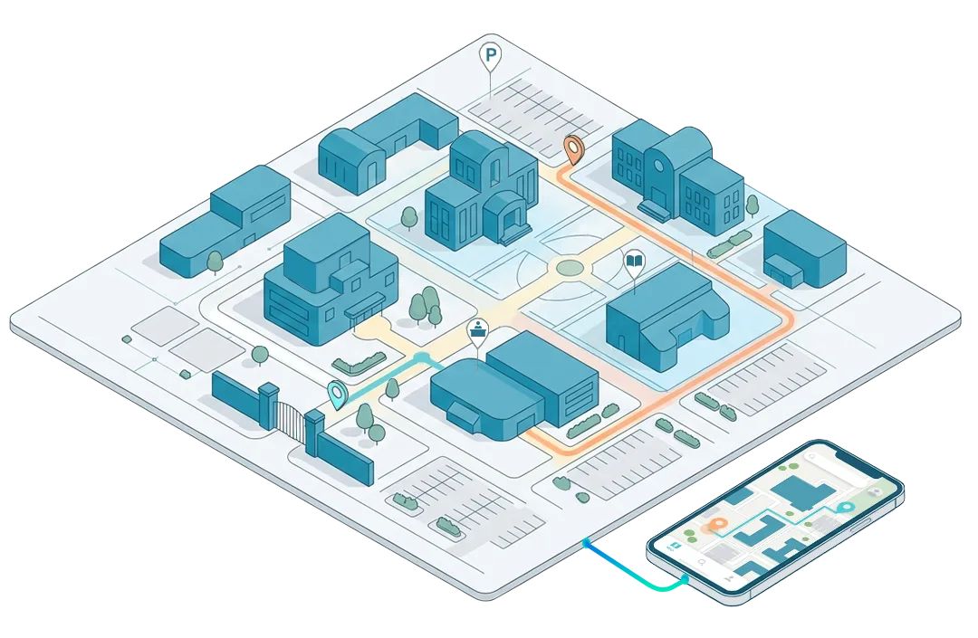
2.5D campus maps designed for engagement and marketing use
Wayfinding Navigation
Enables intuitive outdoor wayfinding across large campus environments
Asset Representation
Visualizes physical campus assets from facilities to natural features
Accessibility Support
Displays accessible routes and pathways across outdoor environments
Event Readiness
Supports temporary routes, zones, and event-based navigation
Cross-Device Access
Works seamlessly across mobile, desktop, kiosks, and displays

Simple, clear maps visitors can understand instantly without instructions

Centralized map content management without redevelopment

Designed for intuitive outdoor navigation across complex campuses

Supports ADA compliance through clearly defined accessible routes
Faster Orientation
Converts outdoor layouts into interactive campus maps using digital mapping tools
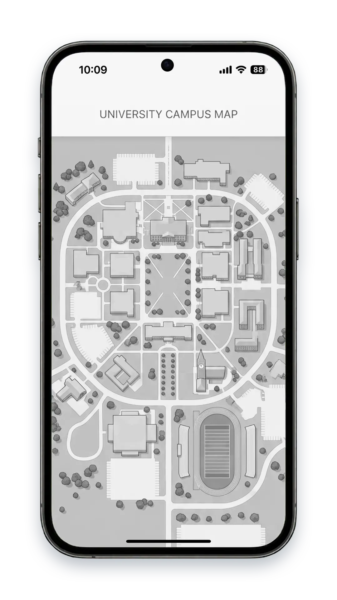
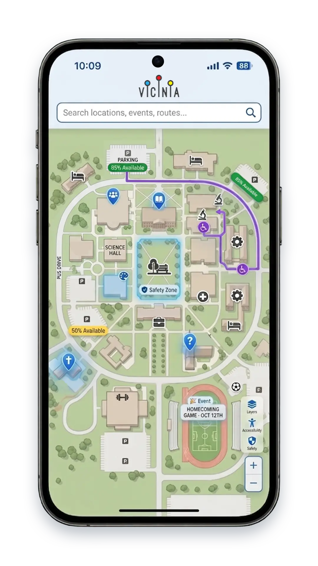

“Vicinia Campus Maps gave us an interactive campus map that visitors instantly understand, improving outdoor navigation, accessibility, safety awareness, and overall campus experience.”
Facility Director UCLA Health

Open Architecture
Flexible digital mapping tools designed for modular growth

Data Compatibility
Supports common spatial and location-based data formats
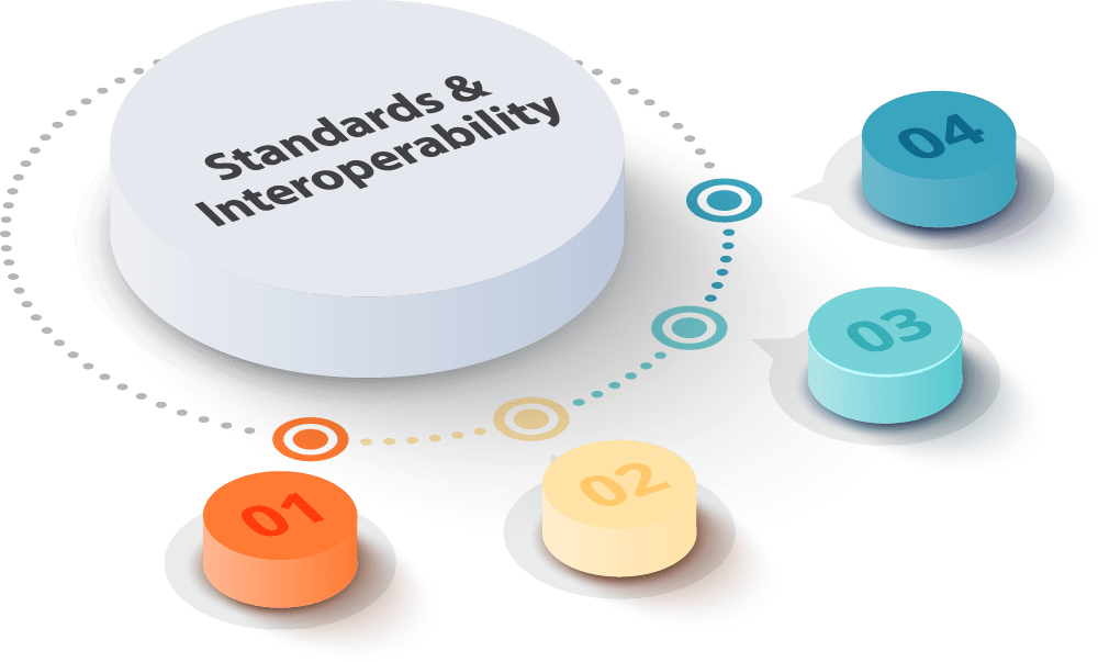

System Integration
Connects with parking, events, and mobility systems

Secure Deployment
Enterprise-grade security with cloud deployment options

An interactive campus map lets users explore outdoor locations digitally through search, navigation, and visual interaction.
Campus Maps focuses on outdoor environments, while Indoor Maps support interior buildings.
Yes, maps visualize and guide through ADA-compliant routes and accessible outdoor paths.
Yes, security and emergency overlays help teams visualize response routes and zones.
Teams manage updates through Vicinia’s centralized map content management solution.




Vicinia creates
Get the lastest insights
Choose the insights you want to receive.