

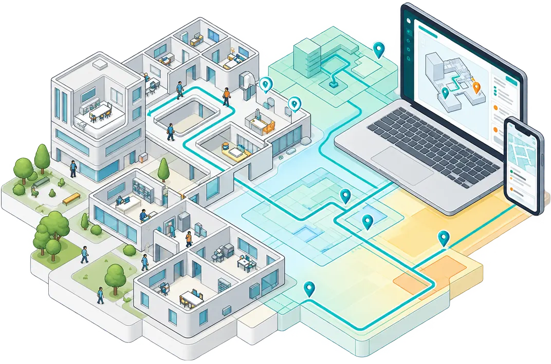
Use Vicinia technologies individually or combine them to create richer applications that understand places, location, movement, assets, and real-world activity.
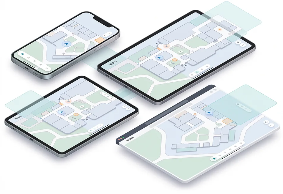
Bring interactive maps into your applications.
Integrate Vicinia interactive mapping into web and mobile applications, providing the spatial foundation for visualization, interaction, navigation, and location-aware experiences.
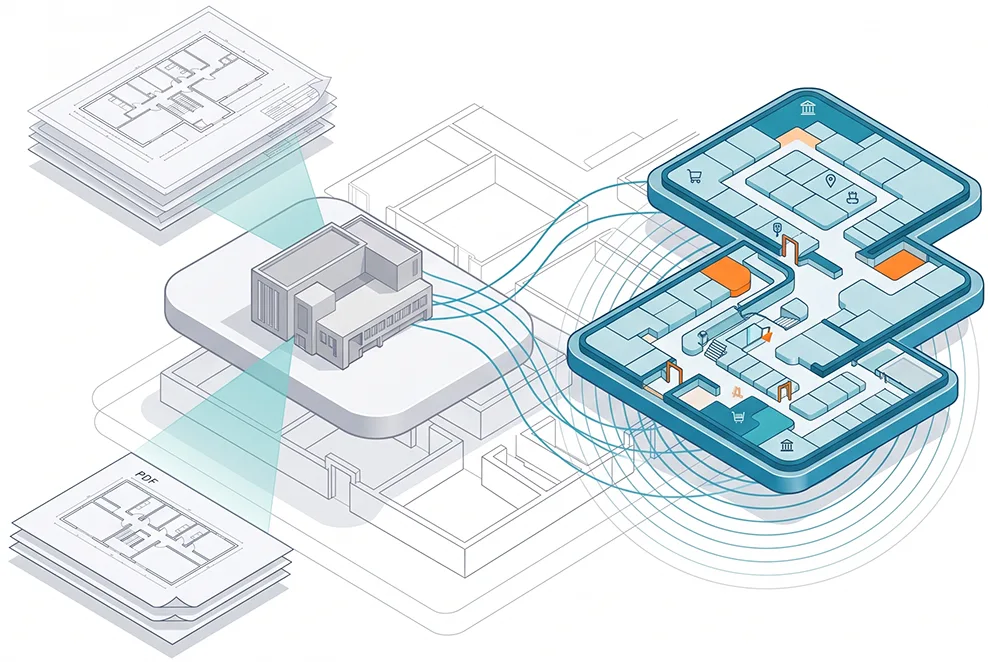
Turn physical environments into application-ready digital maps.
Start with existing CAD files, PDFs, floor plans, or spatial data, or create new spatial data through on-site digital scanning. Vicinia transforms physical environments into structured digital maps ready for visualization, navigation, positioning, and integration into your applications.
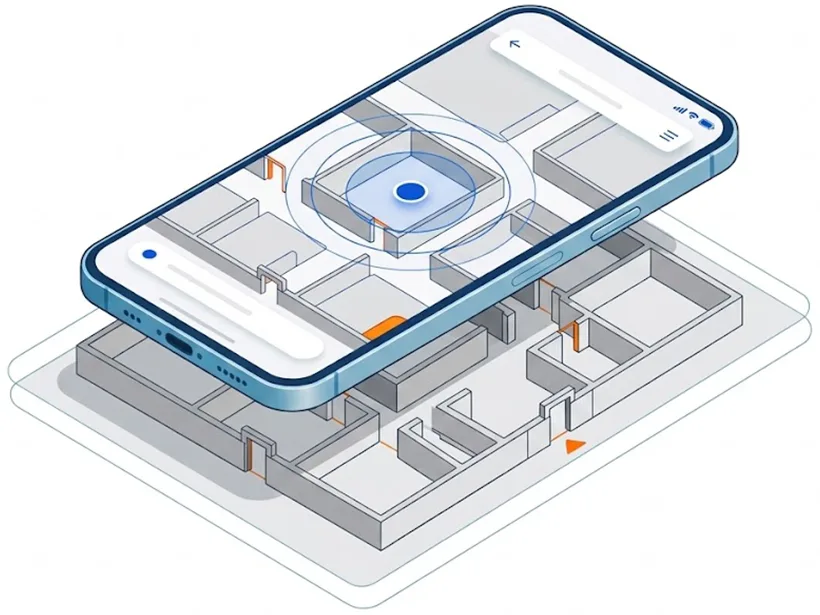
Add indoor location awareness to your mobile application.
Integrate Vicinia positioning technology into iOS and Android applications to determine a user’s location inside complex buildings and environments where conventional GPS is unreliable.
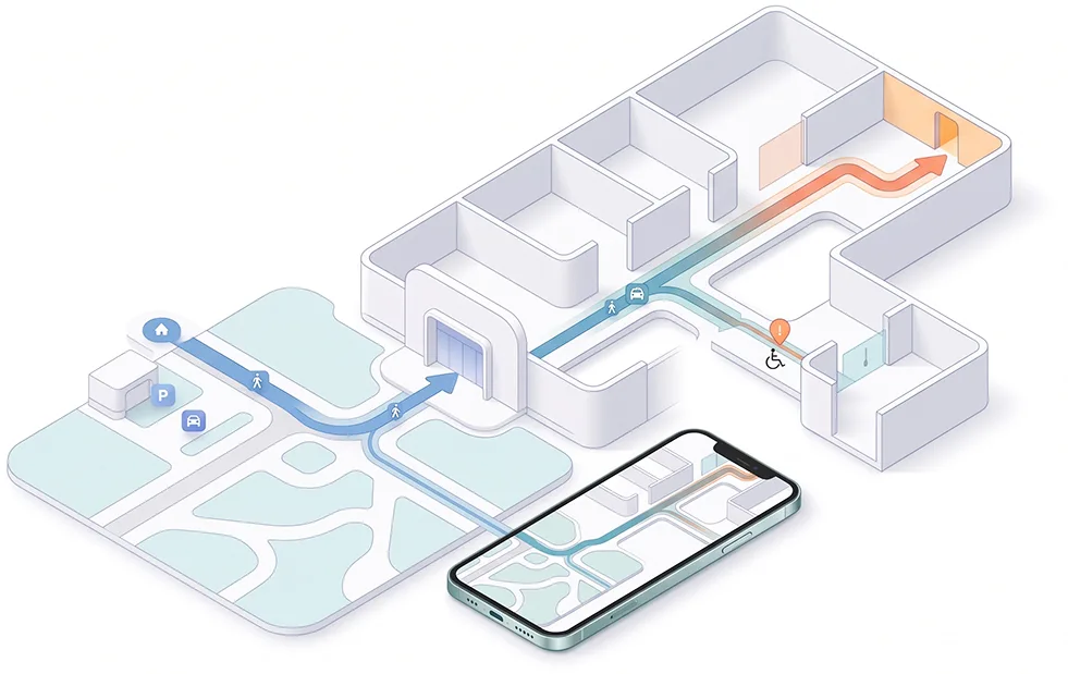
Add navigation and routing to your applications.
Use Vicinia Ways to build connected journeys across indoor and outdoor environments, supporting routing, wayfinding, accessibility, and multimodal navigation.
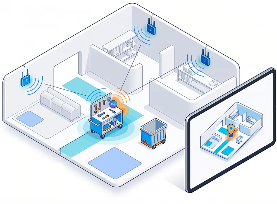
Bring real-time asset location data into your applications.
Vicinia combines tag-based location technology with asset tags, IoT gateways, and scalable wireless infrastructure to generate real-time location and sensor data that developers can integrate into their own applications and systems. The Vicinia hardware architecture includes BLE tags, IoT gateways, and BLE mesh infrastructure for collecting and transporting location and sensor information.
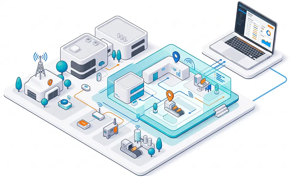
Connect your applications to the physical world.
Build on the Vicinia IIoT Digital Twin Platform to connect sensors, devices, gateways, enterprise systems, and real-time data through a common digital representation of the physical environment.
At the foundation of Vicinia is the Vicinia IIoT Digital Twin Platform, which connects physical environments with their digital representation.
Beyond connecting sensors, devices, enterprise systems, and real-time data, the platform incorporates spatial, location, and AI services, including maps, navigation, positioning, and RTLS. Together, these capabilities create and continuously enrich a single digital twin of the physical environment, transforming it into a living source of context and operational intelligence.
Maps + Indoor Positioning + Ways
Maps + RTLS
Maps + IIoT
Physical AI and autonomous systems increasingly need to operate within complex real-world environments. Beyond what they can perceive through their own sensors, they can benefit from structured context about the spaces around them, their relationship to the larger environment, and changing real-world conditions.
Vicinia’s digital twin provides a contextual layer between the physical environment and the intelligent systems operating within it.
For developers, this opens new possibilities for connecting Physical AI and autonomous systems with the spatial and real-world context available through the Vicinia IIoT Digital Twin Platform.
We are actively interested in collaborating with technology companies, robotics teams, developers, and researchers exploring this intersection.
Tell us what you’re building. We’ll help identify the Vicinia technologies and integration approach that fit your application.
Tell us a bit about your needs and we’ll show you
how Vicinia can make a difference for your organization.
"*" indicates required fields
"*" indicates required fields
Have questions? Our team is here to help you explore the right solution for your needs.
"*" indicates required fields