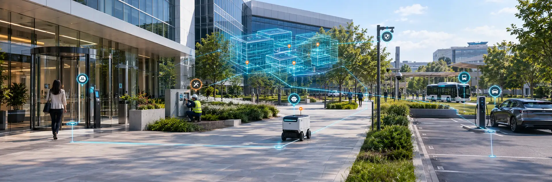
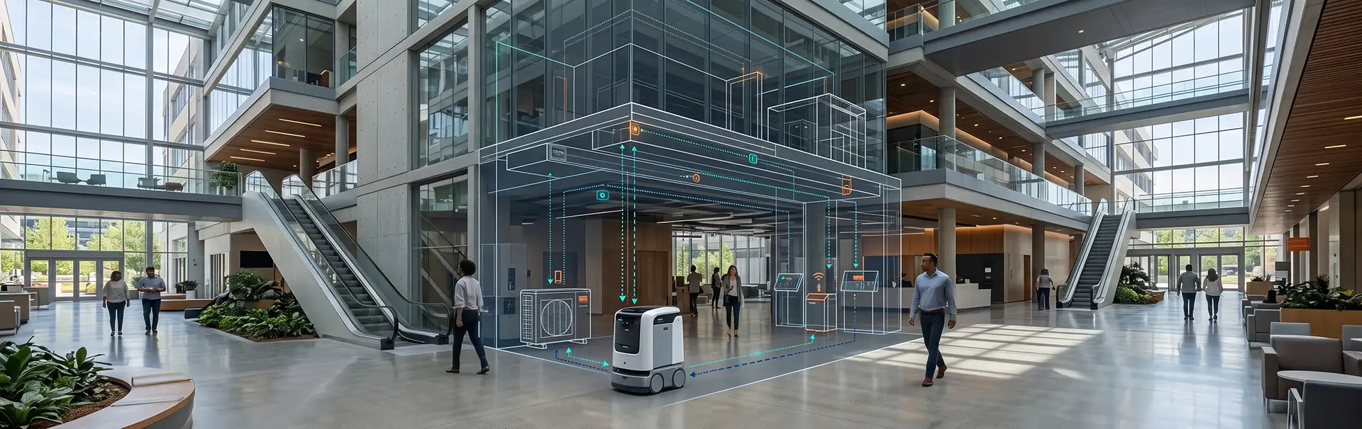
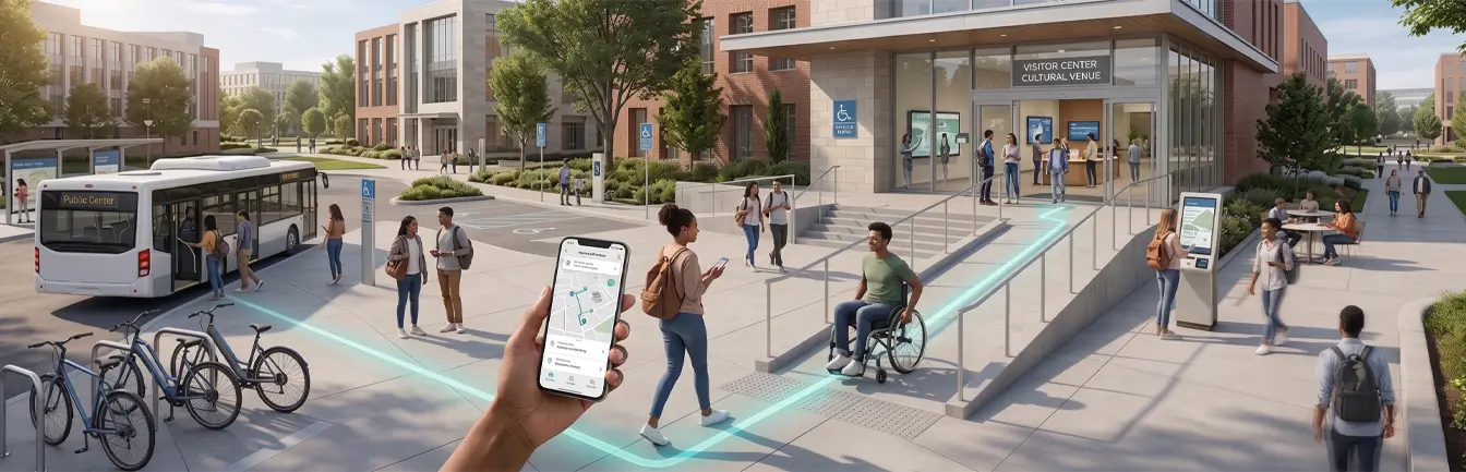
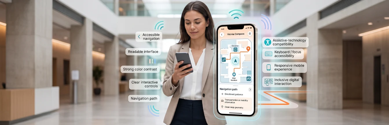
A campus is an area made up of buildings, assets, and people. It can be a college, a hospital, or a commercial property. That concentration of assets and people can be productive, but it can also complicate security. For campus safety, teams need real-time updates on any situation and easy-to-read mapping.
Common Campus Safety and Emergency Issues
Security or emergency issues a campus can experience include:
- Fire outbreaks
- Extreme weather events, such as flooding and tornadoes
- Electrical failures or malfunctions
- Toxic spills and chemical hazards
- Wandering, such as a patient with dementia leaving a care area
- Unauthorized entry and criminal activity by bad actors
Here is how digital campus maps can improve the safety of every person and asset on campus.
How Digital Campus Maps Improve Campus Safety
1. Easy to Read and Use
A digital map helps visualize the campus layout and its layers. You can easily share interactive visual plans with non-technical stakeholders. A single, centralized platform also facilitates communication and improves decision-making, so people can spend more time focusing on security with a simplified communication design.
2. Faster Emergency Response
Easy access to the campus and mapping information is crucial for first responders during emergencies. A digital map solution gives them real-time, easy-to-digest information and removes obstacles such as access authorization and knowledge gaps. It can also show the layout, entry points, and emergency routes, along with the location of emergency services and assets.
3. Better Evacuation Planning and Drills
Emergency preparedness is critical for keeping everyone safe. Navigation software can provide real-time updates to first responders, campus residents, and staff, and can show incident locations, affected people, emergency routes, and safety assets.
Digital maps also support safety preparations. An effective emergency plan requires:
- A communication strategy that states who handles each type of emergency and how they will mobilize
- An evacuation plan with emergency routes, meet-up points, and a way to get people to use them safely
- Emergency supply locations for fire alarms, extinguishers, AEDs, first aid kits, and more
- Adaptability to the specific emergency at hand
You can do all of this on a digital map. Users can mark places that need attention, such as where exposed wiring is, and track progress on solving the issue.
4. Live Location Tracking for Safety Teams
Digital maps can integrate with devices to provide live location and tracking. You can track safety officers as they move through a campus or building, and as they move, they can report real-time information. That data can go to central command and other users.
5. Real-Time Updates for Everyone
Safety depends on everyone having the same, current picture of a situation. With real-time updates on a shared map, central command, officers, staff, and residents can see what is happening and where, which reduces confusion when every minute counts. The same view helps teams review incidents afterward and improve their protocols.
Make Your Campus Safer
Digital campus maps help the team plan, execute floor coverage, respond to incidents, and track them. They provide the interactivity and dynamism that real-time updates and safety protocols need. If you’d like to know how a digital map can improve your campus safety, book a demo now.