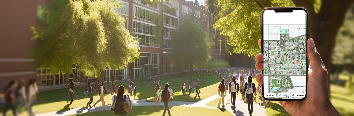
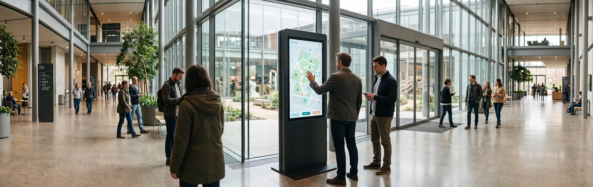
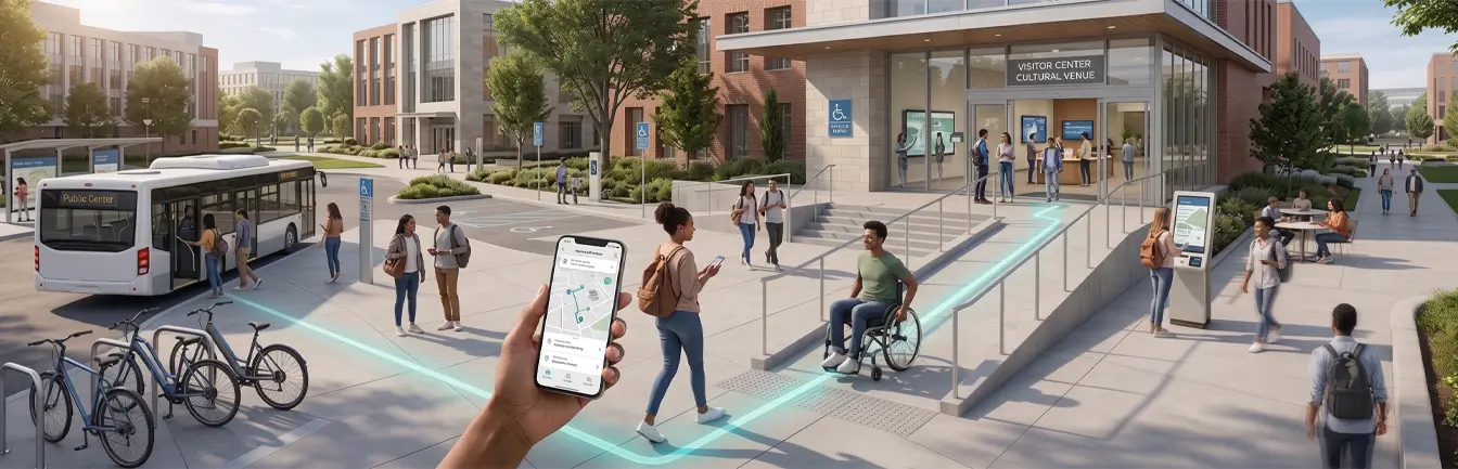
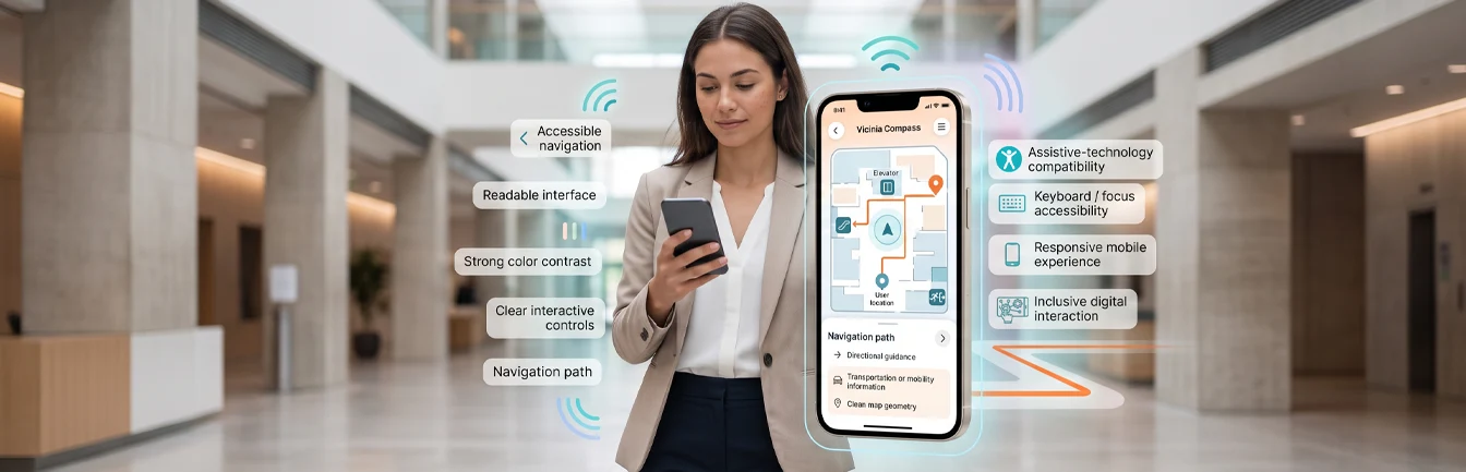
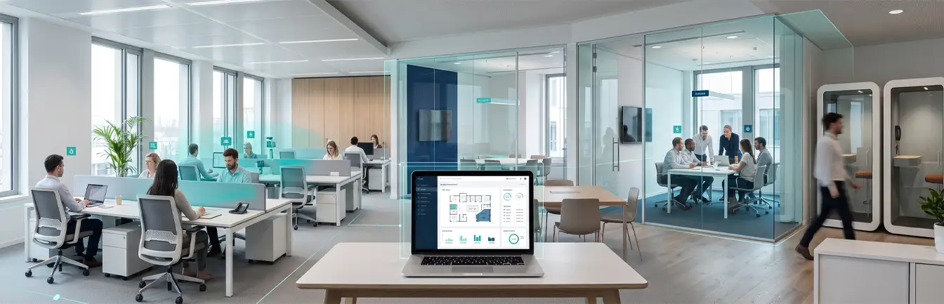
In the evolving landscape of higher education, digital campus maps are emerging as a transformative tool, reshaping the way students, faculty, and visitors interact with academic spaces. These advanced systems go beyond simple navigation, integrating cutting-edge technologies to create personalized, accessible, and data-driven experiences. Below, we explore the latest trends in digital campus maps and their profound impact on campus life, focusing on how higher education navigation is becoming more intuitive and efficient for the modern university environment.
1. AI-Driven Personalization for Students
Artificial intelligence (AI) is enhancing digital campus maps by offering tailored experiences based on individual needs. Vicinia leverages AI to adapt routes based on user profiles, ensuring that every journey is optimized for the specific individual. Key personalized features include:
- Accessible Routes: Personalized paths for wheelchair users that automatically avoid stairs and highlight active elevators.
- Time-Optimized Paths: Efficient routes for students moving between back-to-back lectures or study groups across sprawling campuses.
Integration with learning management systems (LMS) is another exciting development. For instance, a map connected to an LMS could guide students to their next lecture hall, study session, or even available study spots in real time, ensuring they stay on track academically. By utilizing indoor positioning software, institutions can ensure that these AI-driven suggestions are accurate to within a few meters.
2. Real-Time Updates and Dynamic Routing
Dynamic campus environments require flexible navigation solutions. Modern digital maps integrate with construction updates, event schedules, and emergency alerts, enabling real-time adjustments. Features like geofencing add another layer of interactivity, providing location-specific updates as users move across campus. For example:
- Alerts about construction blocking a primary route or sidewalk.
- Notifications about campus events or security measures in a given area.
- Emergency redirection during drills or real-time safety incidents.
These features ensure users remain informed and confident in their navigation choices, reducing stress and improving overall campus safety.
3. Augmented Reality (AR) Enhancements
Augmented reality (AR) brings campus navigation to life by overlaying digital information onto physical spaces. This technology is particularly useful for improving the student experience during orientation. Imagine pointing your smartphone at a building and seeing its history, current occupancy, or upcoming events displayed interactively on your screen.
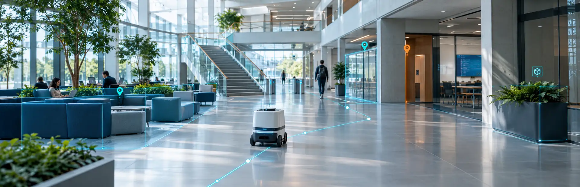
AR can also simplify complex indoor navigation in areas such as massive libraries or research labs, guiding users with visual arrows or markers. This innovation transforms how new students or visitors experience campuses, making navigation both engaging and highly intuitive.
4. Integration with Smart Campus Ecosystems
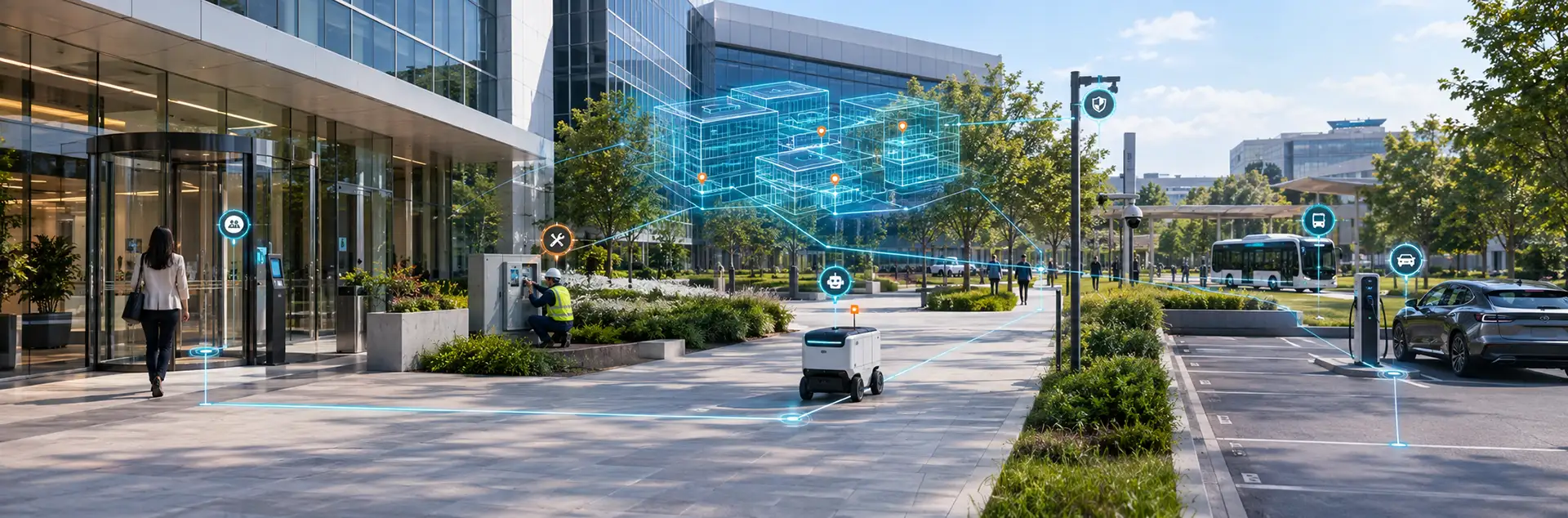
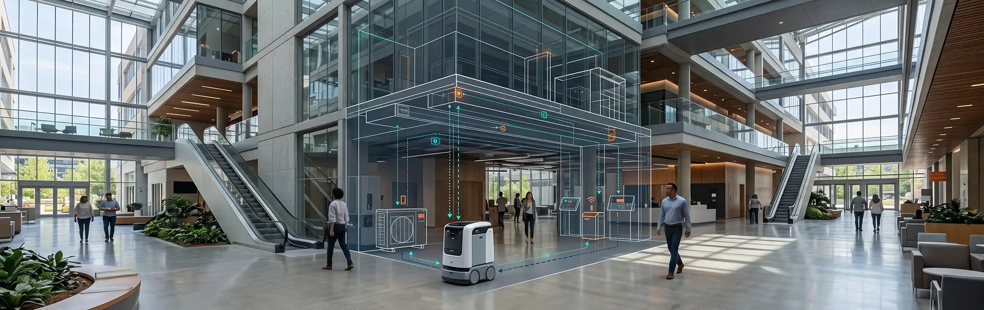
Digital campus maps are increasingly integrating with smart campus ecosystems, offering a seamless blend of information and functionality. Connected to IoT (Internet of Things) devices, these maps can display high-value data such as:
- Room availability for spontaneous student meetings or group classes.
- Parking lot statuses to direct drivers to open spaces, reducing congestion.
- Energy usage data displayed on specific buildings to promote sustainability awareness.
By synchronizing with public transit or rideshare services, these systems also support multimodal transportation, ensuring users move effortlessly between the campus and the surrounding city.
5. Sustainability in Higher Education Navigation
Sustainability is a priority for modern campuses, and digital maps are playing a vital role in meeting green goals. Vicinia integrates eco-friendly features such as:
- Promoting walking and biking routes with real-time carbon savings calculations.
- Highlighting energy-efficient or green-certified buildings during navigation to educate the community.
- Directing users to recycling centers and water refill stations.
These tools align with campus sustainability goals while fostering environmentally friendly behaviors among students and staff through active engagement and visibility.
6. Enhanced Accessibility Features for Inclusion
Inclusion is a cornerstone of digital campus maps. Advanced features ensure that all users, regardless of physical or cognitive abilities, can navigate comfortably. Examples include:
- ADA-Compliant Routes: Maps prioritize accessibility by avoiding stairs and identifying ramps, elevators, and power-assisted doors.
- Audio Guidance: Turn-by-turn audio instructions assist visually impaired users in navigating both indoor and outdoor spaces.
- Customization Options: Language settings and simplified interfaces cater to diverse user needs, including those with cognitive disabilities.
7. Data-Driven Insights for Campus Administrators
Digital campus maps provide valuable data for administrators to improve facility management. Heatmaps of foot traffic help optimize campus planning, ensuring resources are allocated effectively. For example, if data shows a specific hallway is consistently congested, administrators can adjust class schedules or physical layouts.
Data on peak navigation times can also inform shuttle schedules, improve safety measures by identifying poorly lit popular paths, and enhance overall campus operations. This makes the map a strategic asset for institutional growth.
8. Integration with Unified Campus Apps
By connecting digital maps with broader campus apps, institutions create a unified user experience. Students can access dining options, event details, and facilities management tools, all within a single interface. This eliminates the need for multiple apps and simplifies the student experience.
Voice-assistant compatibility further enhances convenience, allowing hands-free navigation across the campus. Whether a student is looking for the nearest open cafeteria or their next lab, the integration ensures that higher education navigation is always just a voice command or click away.
Conclusion
Digital campus maps are no longer just a means to find your way—they are central to creating smarter, more accessible, and sustainable campuses. By leveraging the latest advancements in AI, AR, and IoT, higher education institutions can transform the navigation experience, setting a new standard for modern learning environments. As campuses continue to evolve, digital maps will remain a cornerstone of innovation, fostering connection, efficiency, and inclusivity for the entire academic community.