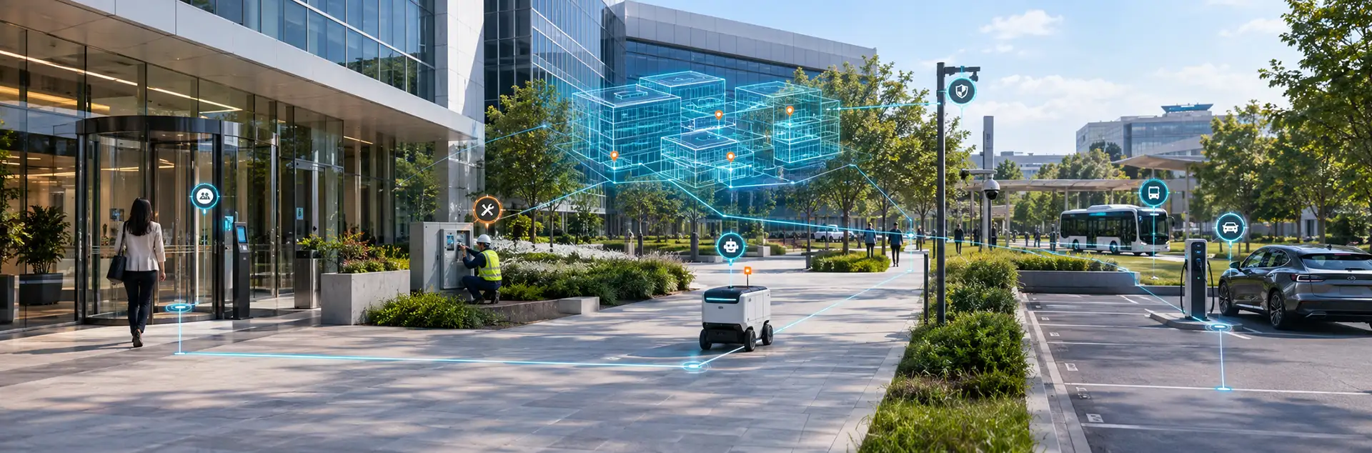
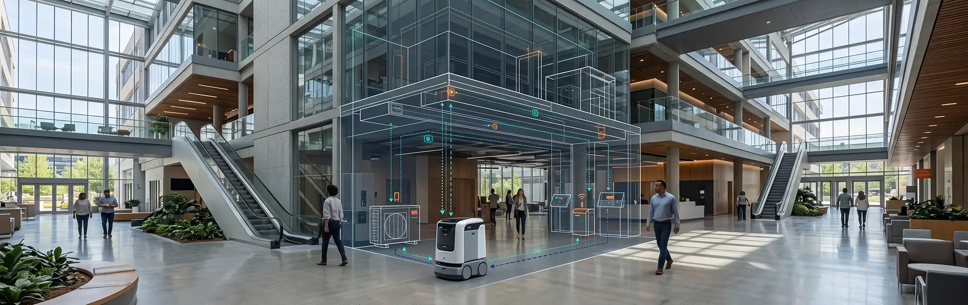
Today’s universities are vibrant ecosystems, full of students, faculty, staff, and visitors. Yet for newcomers, roaming these sprawling grounds can feel like navigating a maze. Digital campus maps change that. They simplify wayfinding, boost accessibility, and help the whole campus run more efficiently.
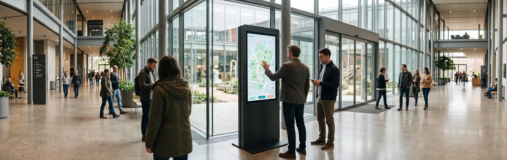
These interactive maps are real-time navigation tools. Users can pinpoint buildings, parking spots, lecture halls, and essential services from a smartphone, a tablet, or a kiosk. Here are the main benefits of digital campus maps for modern universities.
Key Benefits of Digital Campus Maps
1. Easy Access for Everyone
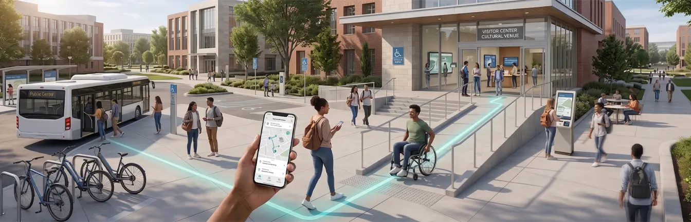
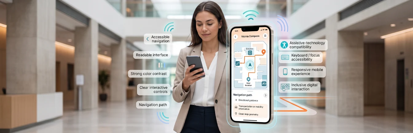
Universities strive to be welcoming to all, especially people facing mobility challenges. Digital campus maps help everyone, including people with disabilities, navigate easily and confidently by highlighting:
- Wheelchair-friendly pathways and entrances
- Designated parking spaces, including accessible zones
- Elevators and ramps in multi-story buildings
2. Enhanced Navigation for Newcomers and Visitors
For first-time students and visitors, a university’s vast expanse can be daunting, and paper maps or verbal directions often lead to confusion and frustration. Digital campus maps provide clear directions to vital destinations such as:
- Classrooms and lecture halls
- Administrative offices
- Dining spots and cafés
- Libraries, labs, and study areas
- Recreation centers and event venues
Users search for a destination and get clear directions, so they don’t have to wander or ask for help. This is a game changer during orientation weeks, open houses, and campus tours.
3. Improved Campus Efficiency
Students and staff are always rushing between classes, meetings, and errands. Digital maps suggest optimal routes, which reduces walking time and simplifies navigation. Key efficiency benefits include:
- Speedy navigation: Users can select the quickest or least crowded paths.
- Quick access to services: Need a snack vendor, copy center, or ATM? The map points to the nearest option.
- Punctual attendance: Students and faculty can quickly find classrooms, meeting rooms, and events.
Together, these features turn campus navigation into a seamless experience that improves productivity and time management.
4. Real-Time Updates and Active Information
Digital campus maps have a significant advantage over paper maps: instant updates. University landscapes are always changing, with new buildings, relocated offices, and construction sites. Digital maps update in real time, so users always see the latest information. For instance:
- If a department relocates, the map reflects the change immediately.
- If a parking lot reaches capacity, users are guided to alternatives.
- The map notifies users about events or closures and suggests detours.
This live data helps students, staff, and visitors make smart choices and avoids confusion.
Beyond Navigation: Safety and Planning
Digital campus maps do more than help people find a classroom. As part of campus navigation software, they also support campus safety by sharing real-time information during emergencies. They also fit into the bigger picture of future campus navigation technologies as universities grow and expectations rise.
Bring Digital Campus Maps to Your University
Digital campus maps are changing how universities handle navigation, accessibility, and efficiency. As campuses grow, digital navigation creates better connections and improves access for everyone. Ready to elevate your university’s navigation? Reach out to Vicinia today and discover how digital maps can turn campus navigation into a seamless experience.