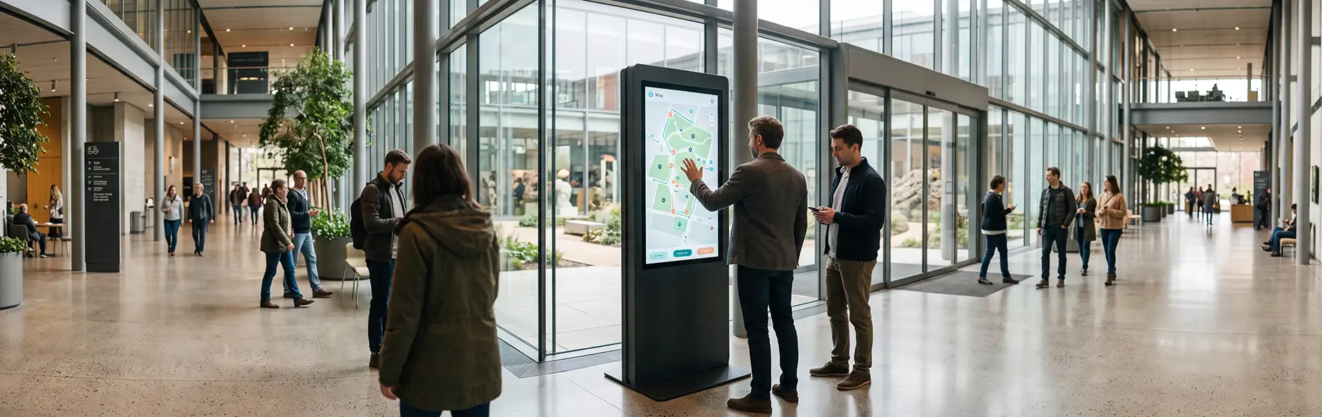
The world is becoming more technologically advanced every day, and even the traditional map can no longer be a static two-dimensional drawing. The campus navigation technologies of the future will create interactive digital wayfinding experiences and help any large, complex site become a smart campus. Campus navigation software is at the center of that shift. Here is how it will happen.
1. From Static to Dynamic Maps
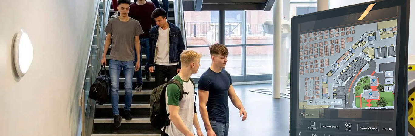
Tech users demand more from every experience, and campus navigation technologies are no different. Signage, traditional flat maps, and simple directories are no longer enough. Users want more resources at their disposal and access to real-time information.
A smart campus of the future will offer real-time guidance systems with access to resources such as:
- Live traffic updates, for regular days and significant events
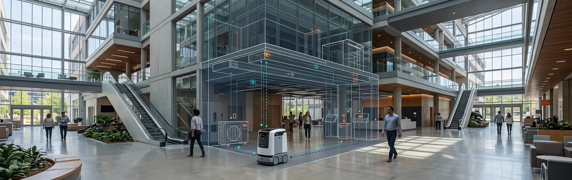
- Real-time data analysis that informs administrators and helps with facility and asset management
- Personalized announcements and alert notifications pushed to users
- Multimedia resources, including audio and video
2. AR/VR-Based Navigation
Augmented reality (AR) and virtual reality (VR) have become accessible to more users through phones, eyewear, and VR headsets. Their spread is bringing a new era of immersive experiences to digital wayfinding. AR and VR are both immersive and intuitive, which gives users a more engaging answer to spatial challenges.
Using AR/VR, campus navigation software can offer real-time location tracking, interactive campus maps, personalized route planning, and integration with campus services and facilities information. These capabilities also help a campus feel more innovative and forward-looking.
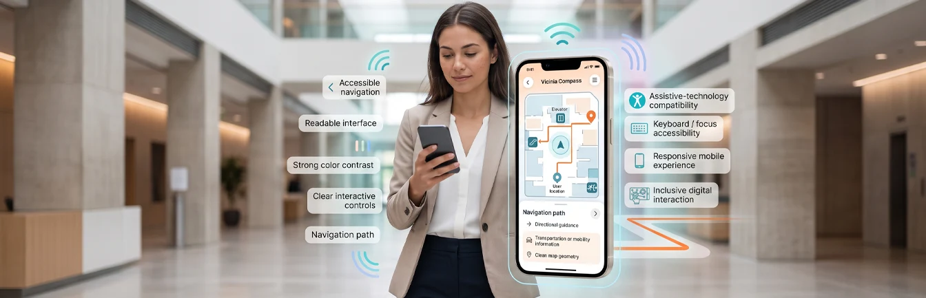
3. Personalized and Dynamic Digital Wayfinding
A typical campus has many large, sprawling buildings, and finding your way through them can be frustrating, especially for new students, staff, and visitors. Digital wayfinding helps users get around more efficiently.
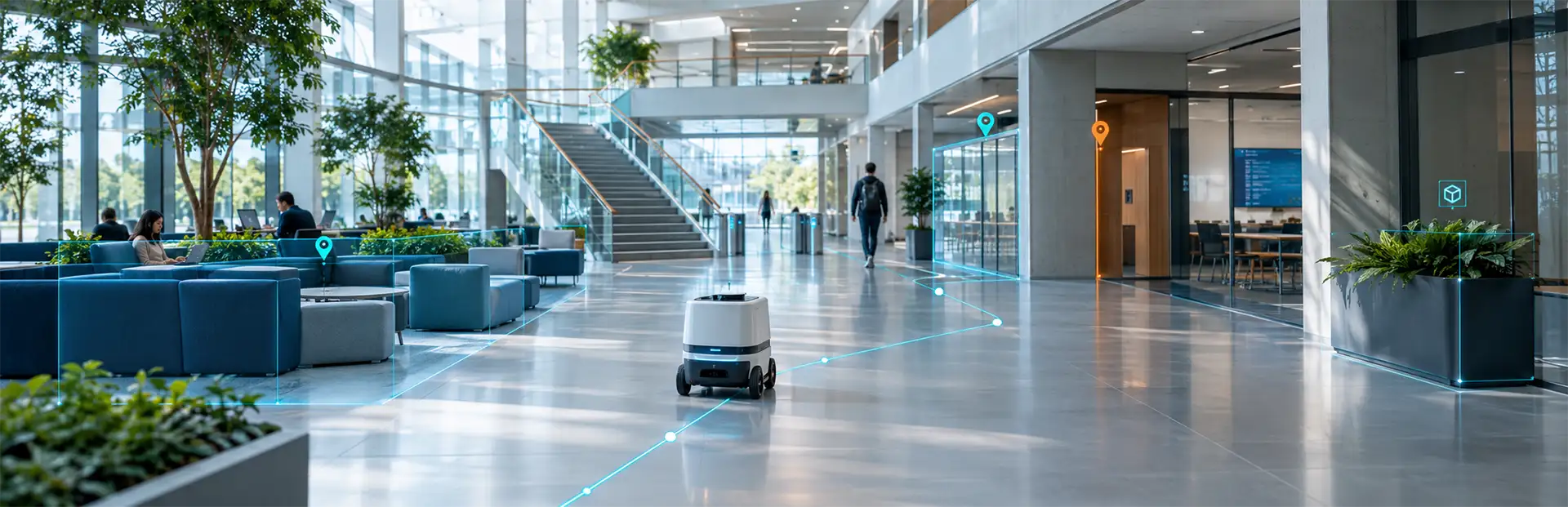
A digital wayfinding app plots the most efficient route for each user. It can direct them to a building on campus, to a room within a building, or to a location within a room. For example, a user can find the library building on a college campus, then the science section, and then a specific shelf, all from the app. The same approach works beyond campuses: a visitor to a mall can find a restaurant and be guided straight to it.
Users can also personalize the experience, which helps people with specific needs, such as those with disabilities, find routes that suit their circumstances.
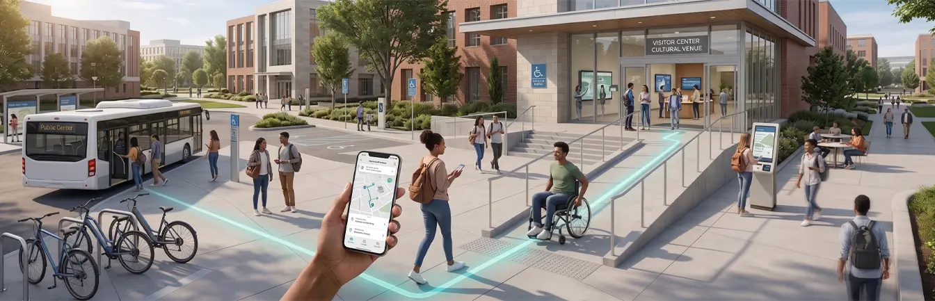
4. Seamless Indoor and Outdoor Navigation
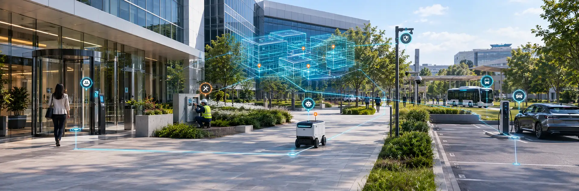
Campus navigation is no longer just about finding a building. People move between sidewalks, quads, parking areas, and building interiors, so navigation has to follow them from door to door. Campus navigation technologies that combine indoor positioning with outdoor wayfinding give users one continuous experience, without switching between maps or relying on signage at every turn.
What This Means for Your Campus
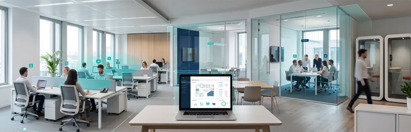
Colleges, hospitals, and corporate offices are vast spaces with multiple buildings, roads, hubs, and services that users must navigate. Without guidance, navigating these spaces can be frustrating, daunting, or inefficient. Campus navigation software from Vicinia can improve any campus, from first impressions to everyday operations. Book your demo now.