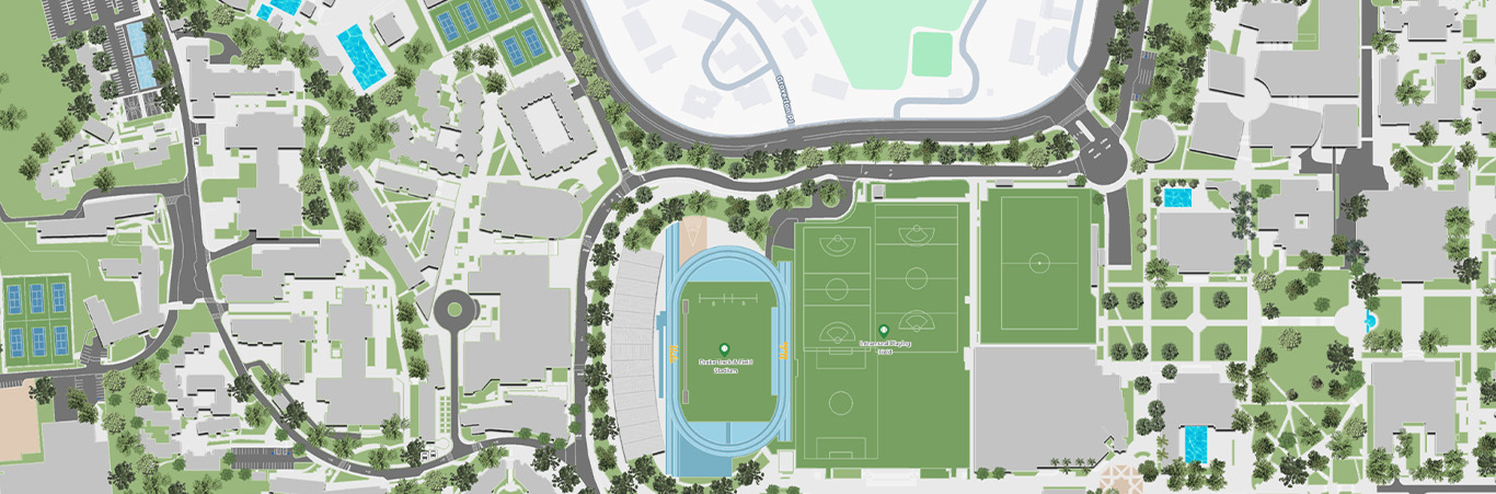

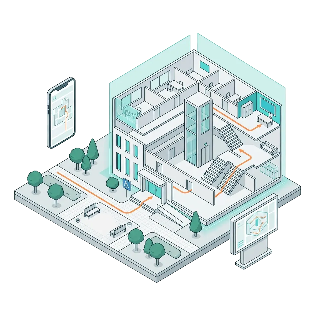
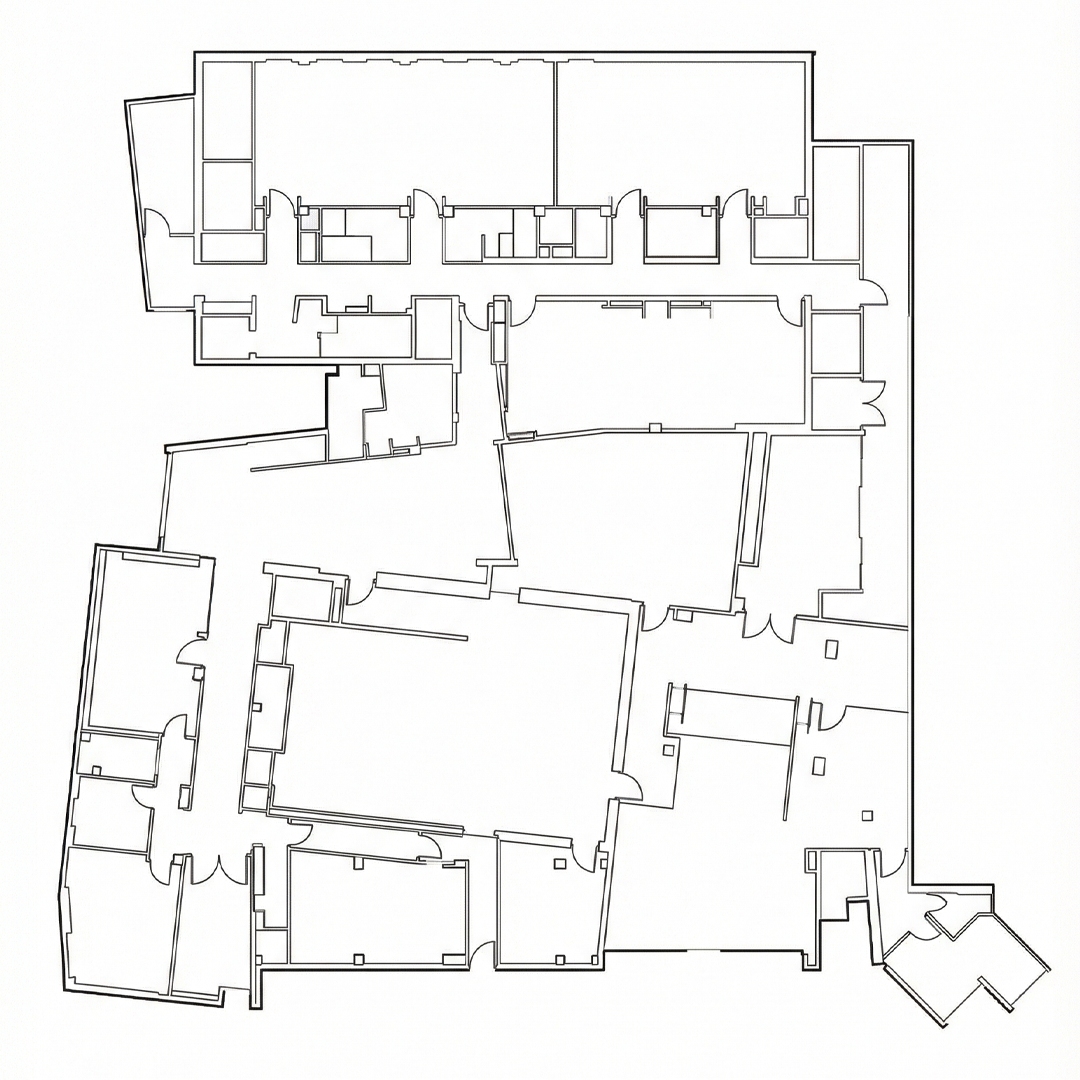
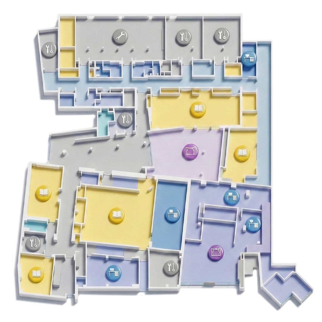
Vicinia Indoor Maps is an enterprise indoor mapping platform that transforms CAD, PDF, and architectural plans into interactive, multi-floor digital maps. This indoor mapping software enables navigation, compliance visualization & physical intelligence and operational intelligence—delivering a secure, configurable indoor mapping solution and inside map for complex buildings.








Map Production
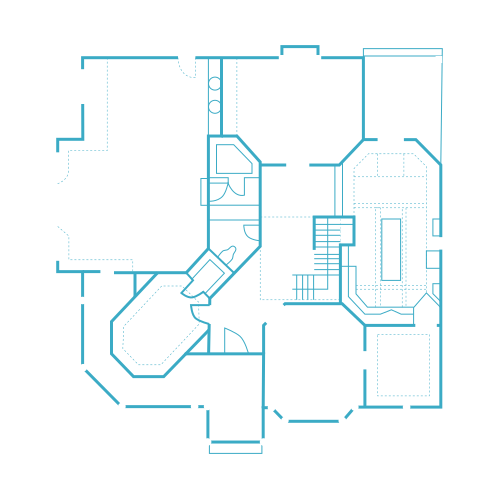
Converts CAD and PDF floor plans into interactive digital maps
Multi-Floor Visualization
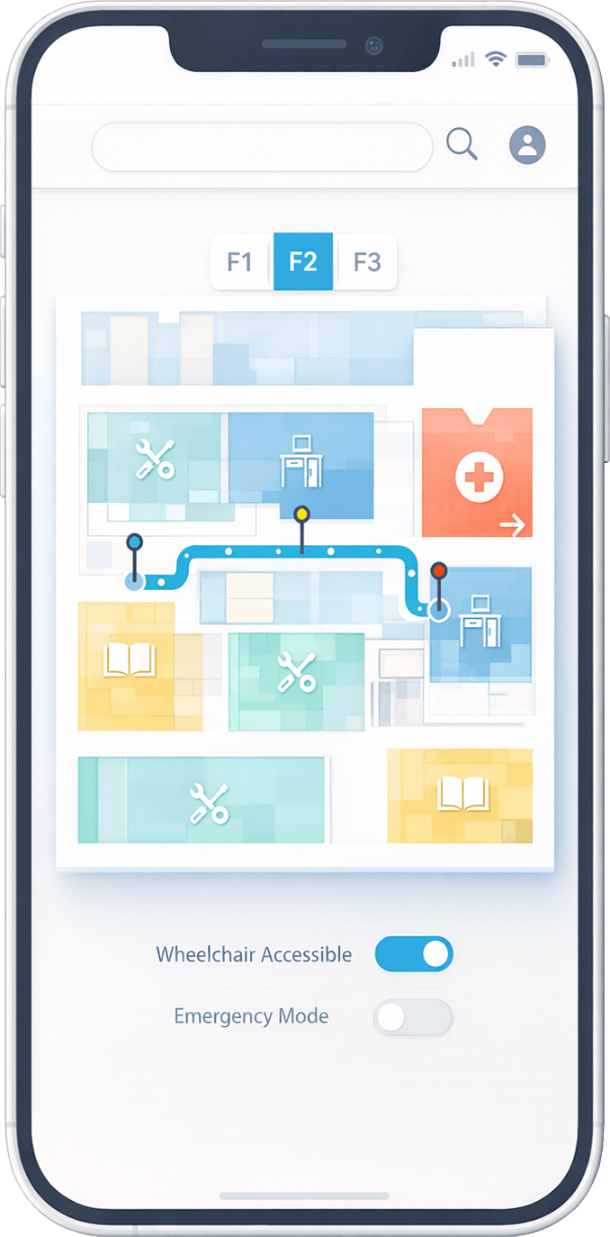
Visualizes multiple floors with clear spatial hierarchy
Wayfinding Navigation
Enables indoor wayfinding and navigation across complex buildings
ADA Visualization
Visualizes ADA-compliant spaces, entrances, and accessible features
Accessible Routing
Generates accessible routes and step-by-step indoor directions
Emergency Maps
Produces emergency and evacuation maps for indoor facilities
Spatial Data Layers
Displays occupancy, zones, and other spatial data layers
Cross-Device Access
Works seamlessly across mobile, desktop, and kiosks

Enables indoor navigation beyond traditional outdoor mapping tools

Enhances safety, compliance, and emergency readiness across facilities


Faster Deployment
Fewer Lost-Person Incidents
Fewer Staff Interruptions
Faster Visitor Navigation
Converts CAD, images and PDFs into 2D and 3D indoor mapping outputs

“With Vicinia Maps, our facilities team manages navigation, safety, and compliance from a unified indoor mapping platform and specialized operational dashboards.”
Facility Director UCLA Health

Open Architecture
Modular indoor mapping platform supporting extensibility and scalability

Data Standards
Supports DWG, DXF, PDF, SVG, and geo-referenced vector data formats


System Integration
Integrates with IoT, CMMS, and enterprise systems

Secure Interoperability
Enterprise-grade security with cloud and private deployment options

Upload CAD, image or PDF files of your floor plans to Vicinia’s AI-powered indoor mapping software to convert them into interactive, searchable, navigable digital maps.
Yes, Indoor Maps enables spatial search to locate rooms, assets, zones, and services while providing physical intelligence through connected spatial relationships and contextual map data.
An interactive indoor map is a dynamic, digital version of a building’s floor plan that users can click, search, and navigate in real-time
They visualize ADA routes, exits, and emergency zones to improve compliance and response readiness.
Yes, the platform integrates with sensors to display real-time occupancy and movement data.




Vicinia creates
Get the lastest insights
Tell us a bit about your needs and we’ll show you
how Vicinia can make a difference for your organization.
"*" indicates required fields
Choose the insights you want to receive.