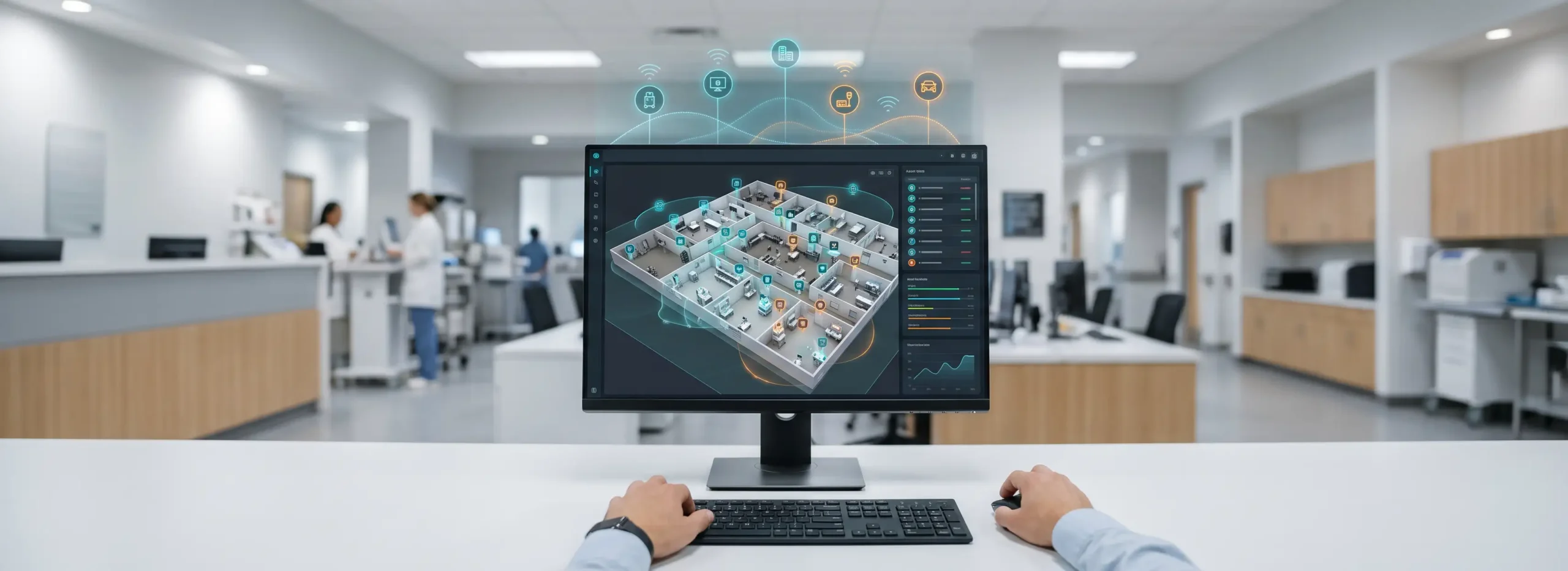
Enhancing the Visual Aesthetic of Vicinia Maps
We are thrilled to unveil the latest update to Vicinia Maps, a major step forward in how we visualize and interact with complex indoor and outdoor spaces. This update is designed to harmonize visual appeal with high-level functionality. Our gorgeous new maps provide a fresh, natural aesthetic that transcends basic point-to-point navigation. By offering a seamless blend of geographic accuracy and artistic beauty, Vicinia is setting a new standard for spaces such as university campuses, botanical gardens, amusement parks, and large-scale convention centers.
Stunning Visuals and Real-World Accuracy
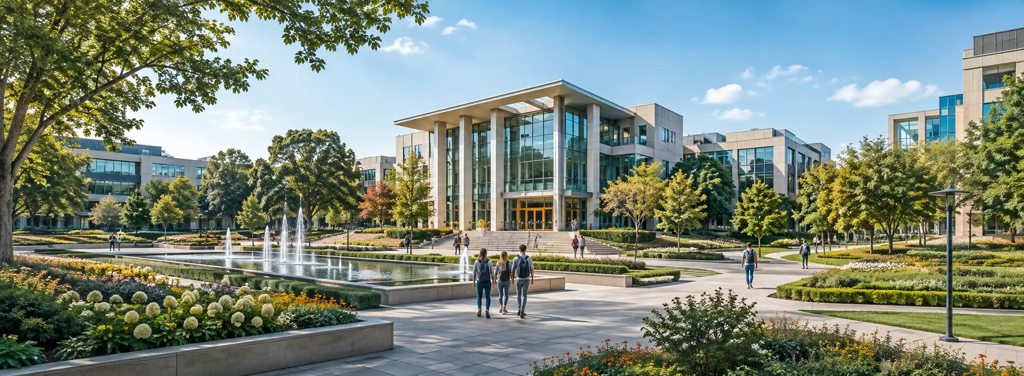
The updated Vicinia Maps are more visually engaging than ever before. We have moved beyond the sterile look of traditional digital maps to introduce accurate-to-nature design elements. These enhancements allow the software to showcase green spaces, distinct landmarks, and intricate architectural details with vivid clarity. Users are presented with a true-to-life representation of their surroundings, making it easier to recognize their location relative to their environment.
Whether you are managing a sprawling corporate campus or a multi-level shopping mall, the beauty of your physical space is now an integral part of the digital map experience. This visual depth doesn’t just look better; it aids in cognitive mapping, allowing visitors to orient themselves more quickly by identifying recognizable environmental features.
Immersive Experiences for Every Venue
The versatility of Vicinia Maps allows it to adapt to the unique character of any venue. For botanical gardens, this means highlighting flora and walking paths with organic textures. For amusement parks, it involves capturing the vibrant energy of various themed zones. By prioritizing the aesthetic integrity of the location, Vicinia ensures that the digital tool feels like a natural extension of the physical site, rather than a separate, detached utility.
Improving Indoor Wayfinding and Navigation Efficiency
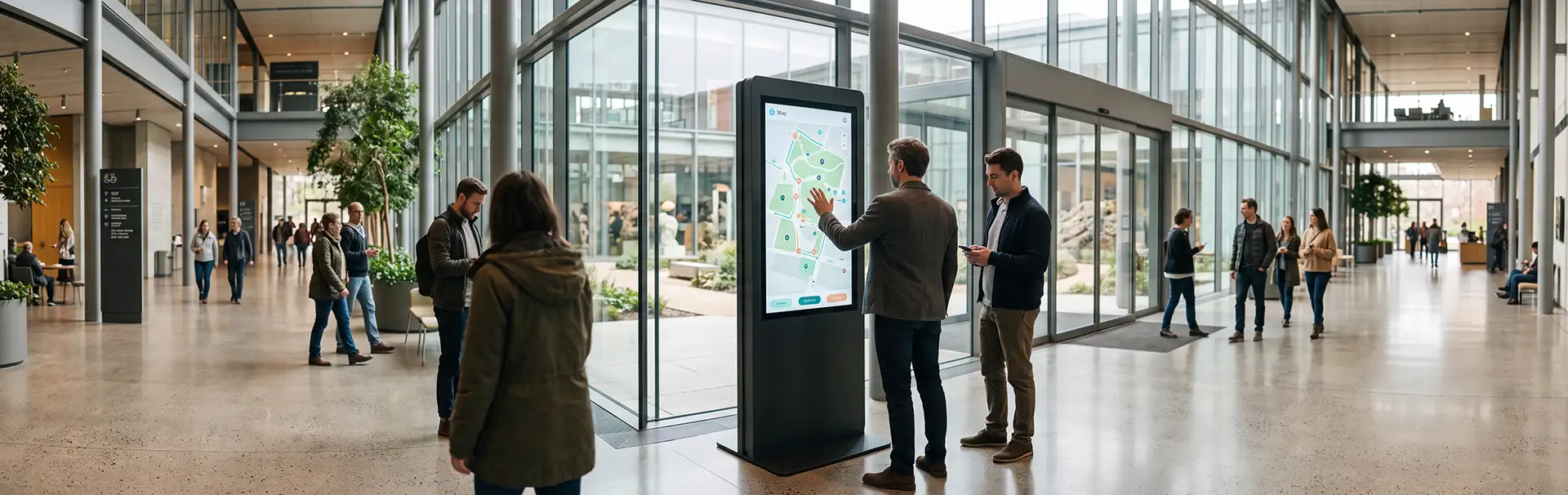
While aesthetics are vital, a map’s primary purpose is utility. Our latest version of Vicinia Maps ensures that they not only look better but perform with higher precision. We have refined our routing algorithms and enhanced the overall user interface to facilitate smoother indoor wayfinding. Even the most complex architectural layouts can now be navigated with ease, reducing visitor frustration and improving the flow of traffic.
Advanced Routing and Positioning Technology
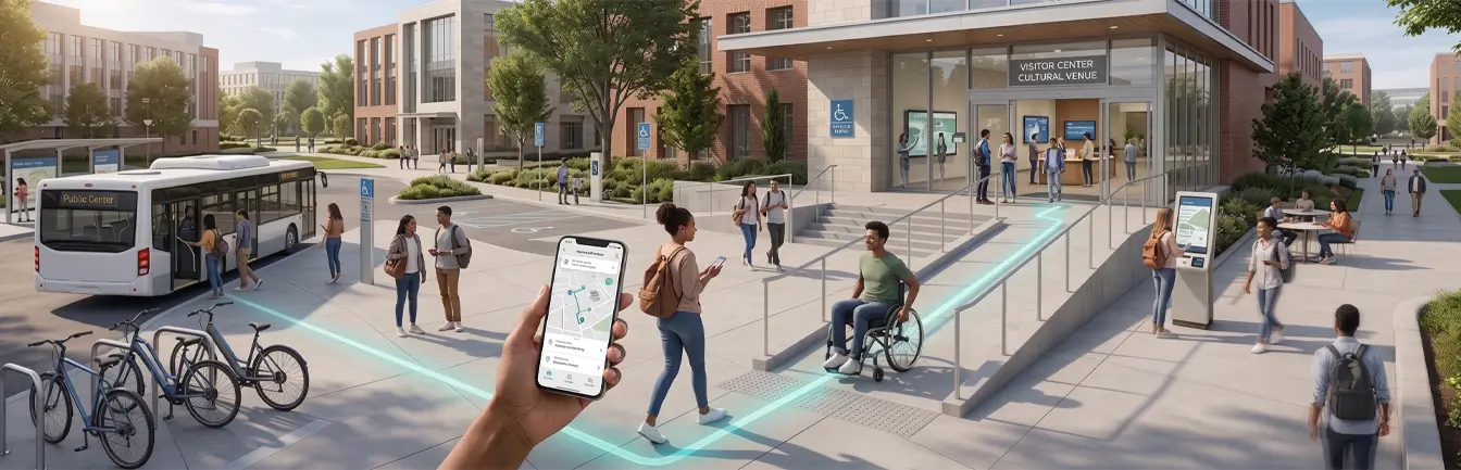
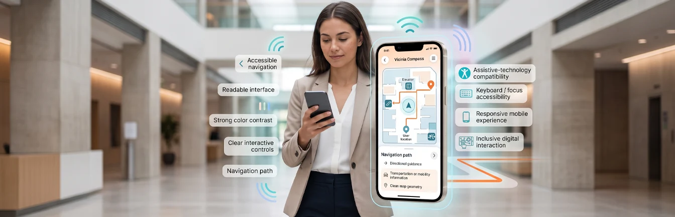
Visitors can now access improved routing options that take various modes of transportation and accessibility requirements into account. From simple walking paths to shuttle routes and elevator-accessible directions, Vicinia Maps ensures a frictionless journey across any venue. To achieve the highest level of accuracy, these maps work in tandem with our specialized indoor positioning software, providing real-time location updates that help users stay on the right track.
Seamless Navigation in Complex Environments
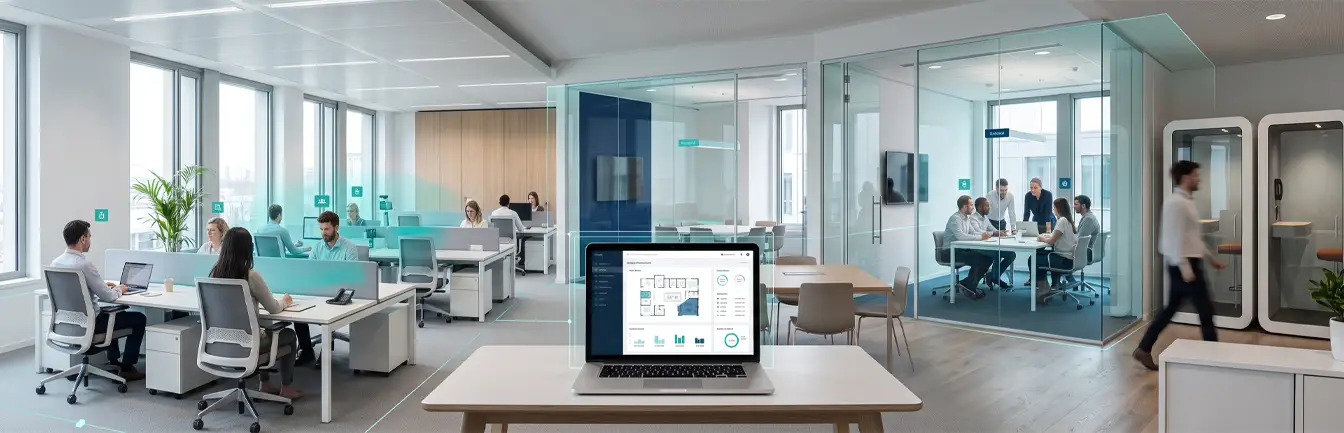
Modern venues are becoming increasingly multifaceted. Convention centers often host multiple simultaneous events, while hospitals can be a labyrinth of interconnected wings. Vicinia Maps simplifies these complexities. By integrating precise indoor mapping data, we provide a reliable tool that handles multi-floor transitions and complex interior layouts effortlessly. This ensures that whether a visitor is looking for a specific meeting room or a hidden amenities kiosk, they have the most efficient path at their fingertips.
Maximizing Marketing Potential for Modern Venues
Beyond its role as a utility for navigation, Vicinia Maps serves as a powerful marketing asset for showcasing your location’s unique charm. In an era where digital first impressions are everything, the way your venue appears online can significantly impact prospective visitors. By integrating the aesthetic appeal of your campus or venue directly into the map, you create a memorable experience for students, attendees, and tourists before they even arrive.
A Dynamic Tool for Engagement
You can turn your campus navigation tool into a storytelling platform. Highlight key points of interest, showcase newly renovated facilities, or guide visitors through a curated digital tour of your most beautiful landmarks. This level of detail builds trust and excitement, turning a standard utility into a high-impact marketing tool that draws people in and enhances their overall journey.
Creating Lasting First Impressions
Whether it is a prospective student exploring a university layout or an event organizer scouting a convention hall, the clarity and beauty of Vicinia Maps provide a professional and welcoming atmosphere. By providing an interactive maps experience that is both helpful and beautiful, you demonstrate a commitment to visitor experience and technological innovation. Ready to transform the way people see and navigate your space? Book a demo now to see the all-new Vicinia Maps!