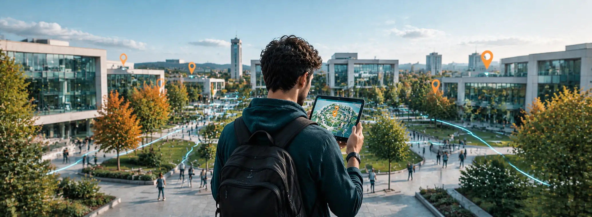
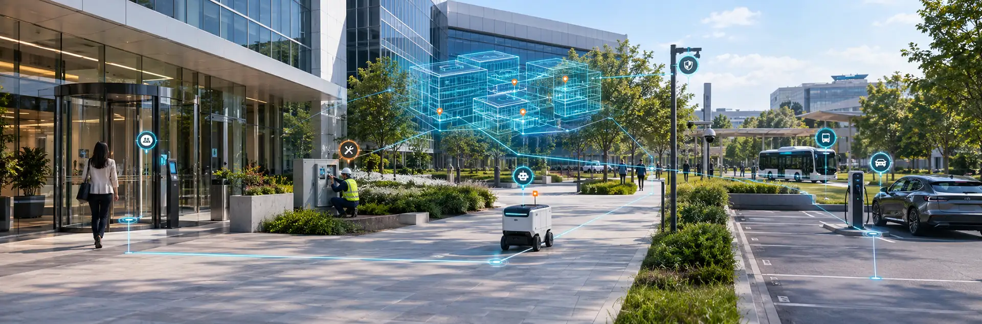
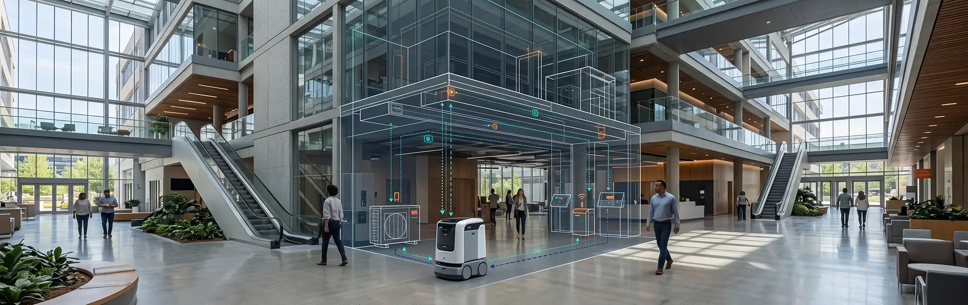
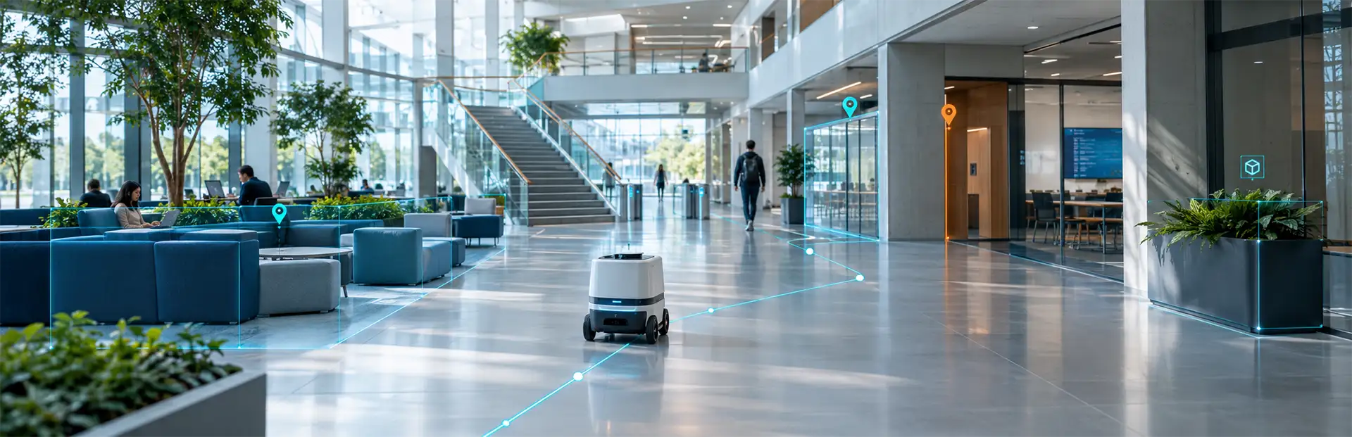
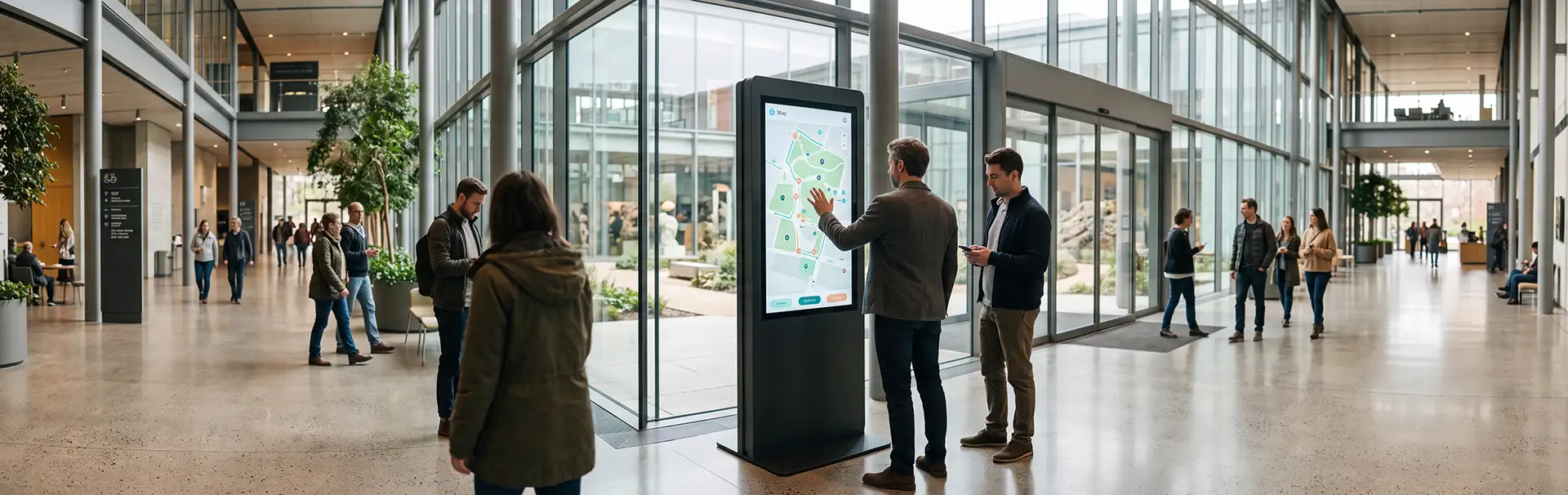
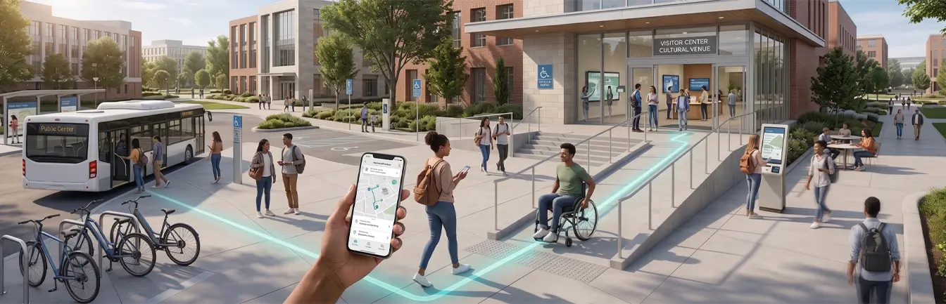
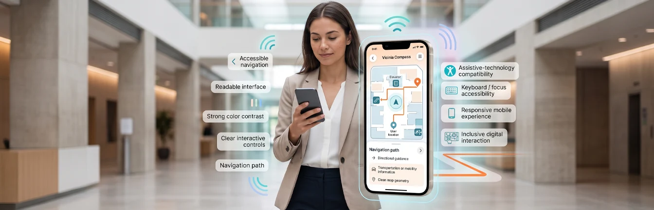
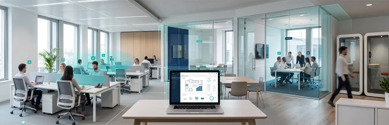
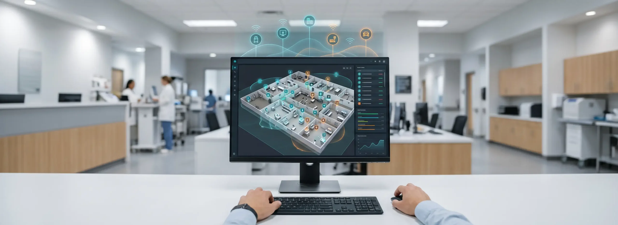
In today’s rapidly evolving world, the ability to explore vast indoor and outdoor environments demands innovation and precision. Vicinia’s Digital Campus Maps redefine how we perceive and interact with complex landscapes, offering intuitive tools to explore, analyze, and understand diverse environments with ease. Whether it’s bustling urban centers, sprawling corporate campuses, or vibrant cultural institutions, Vicinia technology transforms the way we interpret spatial data, unlocking valuable insights and driving informed decision-making across various industries.

1. The Evolution of Digital Mapping
Traditional maps provide a static view of our surroundings, offering limited insights into the dynamic nature of our environment. Modern spatial requirements have rendered these old methods insufficient for complex facility management. Vicinia digital maps revolutionize this approach, providing dynamic, interactive interfaces that adapt to changing conditions in real-time.
From Static Images to Dynamic Interfaces
By integrating rich layers of information, such as facility layouts, points of interest, and real-time data feeds, Vicinia maps offer a comprehensive view of any environment. This allows users to explore and analyze spatial data with unparalleled depth. Unlike traditional paper or PDF maps, these digital solutions grow with the campus, ensuring that every renovation or change is reflected instantly for the end-user.
2. The Technology Behind Digital Campus Maps
At the heart of Vicinia campus maps lies a sophisticated blend of technologies, seamlessly integrated to deliver an immersive viewing experience. Geographic Information Systems (GIS) serve as the essential foundation, facilitating the organization and analysis of complex spatial data. To ensure maximum accuracy for indoor environments, our maps often integrate with indoor positioning software, providing users with real-time location awareness.
GIS and Data Interoperability
Advanced visualization techniques enhance the viewing experience, allowing users to immerse themselves in rich, interactive environments. Furthermore, Vicinia maps leverage real-time data feeds to ensure users have access to the most up-to-date information available. This interoperability allows the mapping system to talk to other building management tools, creating a unified ecosystem of spatial intelligence.
3. Unparalleled Features and Functionality
Vicinia digital maps boast a wide range of features designed to enhance the viewing experience and extract valuable insights from spatial data. These tools are built to handle the complexities of modern architecture, where multi-floor navigation and outdoor-to-indoor transitions are common requirements.
Layered Visualization and Analytics
- Interactive Overlays: Users can toggle between different layers of information, such as building layouts, infrastructure networks, and environmental conditions.
- Customizable Filters: Empower users to focus on specific areas of interest, such as specific departments or emergency exits.
- Search Functions: High-speed search ensures that any asset or room can be located in seconds.
- Advanced Analytics: Tools that provide deeper insights into spatial patterns, foot traffic, and space utilization trends.
4. The Impact on Strategic Decision-Making
By providing a dynamic, interactive view of spatial data, Vicinia maps empower users to make more informed decisions. Whether it is analyzing facility layouts, evaluating environmental conditions, or monitoring infrastructure networks, users gain valuable insights that drive strategic planning. This is particularly vital for large-scale campuses where manual oversight of every corridor is impossible.
Enhancing Operational Efficiency
From urban planners to facility managers, Vicinia maps serve as a powerful tool for unlocking the full potential of spatial data. Strategic resource allocation becomes simpler when you can visualize exactly where assets are located and how they are being used. This leads to optimized maintenance schedules, better traffic flow management, and ultimately, enhanced operational efficiency across the entire organization.
5. Vicinia’s Key Mapping Benefit: Granular Search
One of the standout features of our mapping solution lies in its robust and sophisticated search functionality across spatial data. Unlike conventional mapping platforms, our solution offers unparalleled granularity, allowing users to search for a wide array of spatially related entities with precision and efficiency. This capability is essential for large institutions where finding a specific piece of equipment or a small office can be a challenge.
Precision Across Every Asset
From assets and landmarks to individuals’ offices, infrastructure such as piping, ducting, and networking hardware, our search capabilities cover every aspect of the environment. Users can seamlessly explore:
- Buildings and Businesses: Locate specific departments or retail outlets with ease.
- Amenities: Find restrooms, elevators, and water stations quickly.
- Parking Facilities: Access intricate detail, including specific categories like bike, scooter, ADA-compliant, and reserved parking spaces.
This level of granularity sets the Vicinia platform apart from generic mapping services, empowering users with the comprehensive spatial insights needed to optimize their daily operations.
6. Looking Ahead: The Future of Digital Twins
As technology continues to advance, Vicinia remains committed to pushing the boundaries of digital mapping. Through ongoing innovation and development, Vicinia digital campus maps will evolve to offer the most modern features, enhanced functionality, and deeper insights into spatial data. The transition toward the digital twin age means that maps are no longer just for navigation; they are digital replicas of physical reality.
Bridging the Physical and Digital Gap
Whether it is urban planning or facility management, Vicinia maps will play a pivotal role in shaping how we view and interact with our environment. By incorporating AI-driven insights and predictive modeling, the future of mapping will focus on anticipating user needs before they even arrive at their destination. This commitment to innovation ensures that Vicinia remains at the forefront of spatial technology.
In summary, Vicinia digital campus maps represent a significant advance in the field of spatial data visualization and digital twins. By leveraging cutting-edge technology and innovative design, these solutions empower users to explore environments with ease, extract valuable information from spatial data, and make informed decisions that drive positive outcomes.