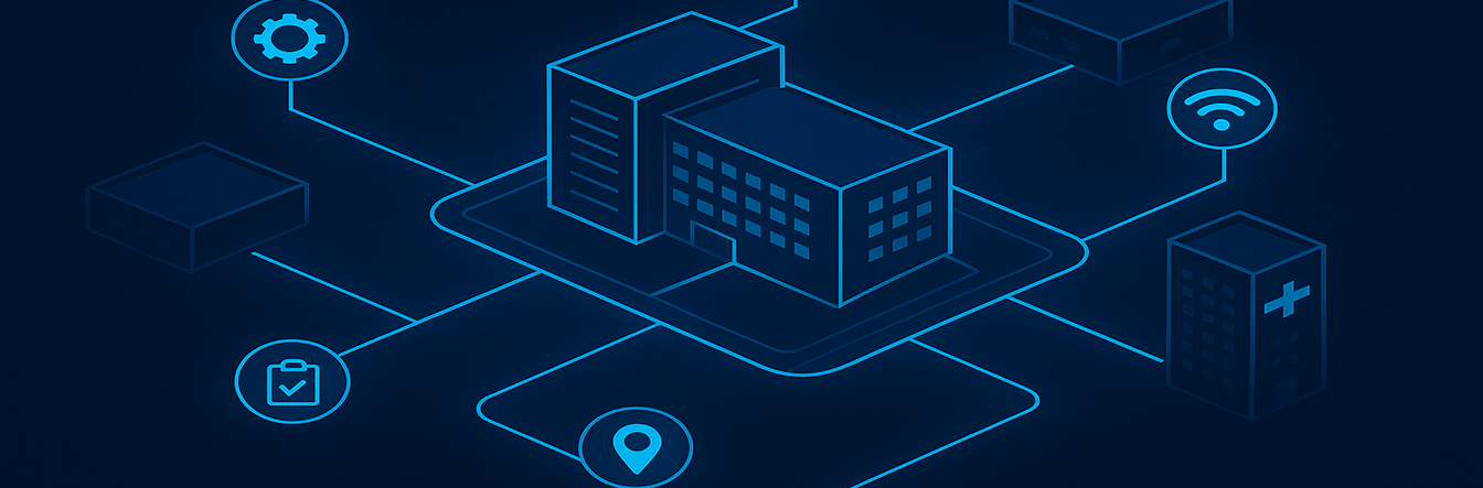
As campuses grow increasingly complex, the need for intuitive, real-time navigation solutions has never been greater. Traditional wayfinding methods like static maps and signage are no longer sufficient in environments that demand flexibility and precision. Campus navigation software is stepping up to meet these challenges, and Vicinia is at the forefront of this transformation. In today’s fast-paced academic and corporate worlds, ensuring that everyone can find their destination efficiently is a cornerstone of modern infrastructure.
1. The Crucial Role of Real-Time Campus Navigation
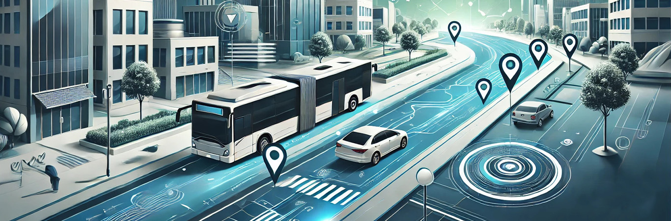
One of the primary features of modern campus navigation software is its ability to provide real-time updates. Whether it is rerouting users to avoid construction zones, adapting to changing weather conditions, or ensuring accessibility during high-traffic events, these dynamic features ensure that users always receive the most accurate information. This is especially critical on sprawling university campuses and corporate environments, where missed turns or unclear directions can lead to unnecessary delays and frustration.
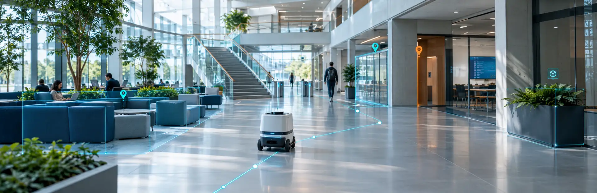
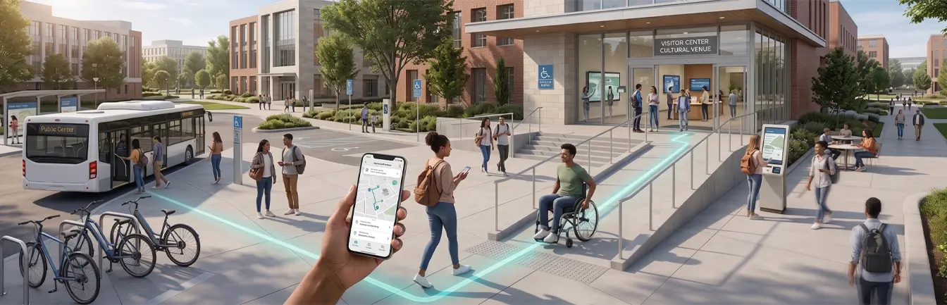
With Vicinia’s Indoor Positioning Software, campuses can offer users real-time, step-by-step guidance to their destinations, significantly enhancing efficiency and overall user satisfaction. By utilizing Indoor Positioning Software, institutions can provide a seamless transition between outdoor and indoor environments, ensuring the journey never breaks.
2. How Dynamic Routing Adapts to Campus Needs
Dynamic Routing is another hallmark of advanced navigation systems. Unlike traditional tools, dynamic routes change based on current conditions, providing users with the most efficient pathways possible. This adaptability is essential for maintaining flow in busy environments. For example:
- Adjusting routes during peak hours to reduce hallway and walkway congestion.
- Directing users to safe evacuation points or emergency exits during drills or actual emergencies.
- Providing alternative paths for individuals with mobility challenges when certain elevators or ramps are out of service.
Vicinia’s Digital Campus Maps integrate these dynamic features, ensuring that navigation remains seamless even as campus conditions change throughout the day.
3. Streamlining Operational Goals with Navigation Data
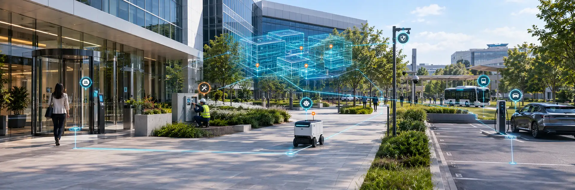
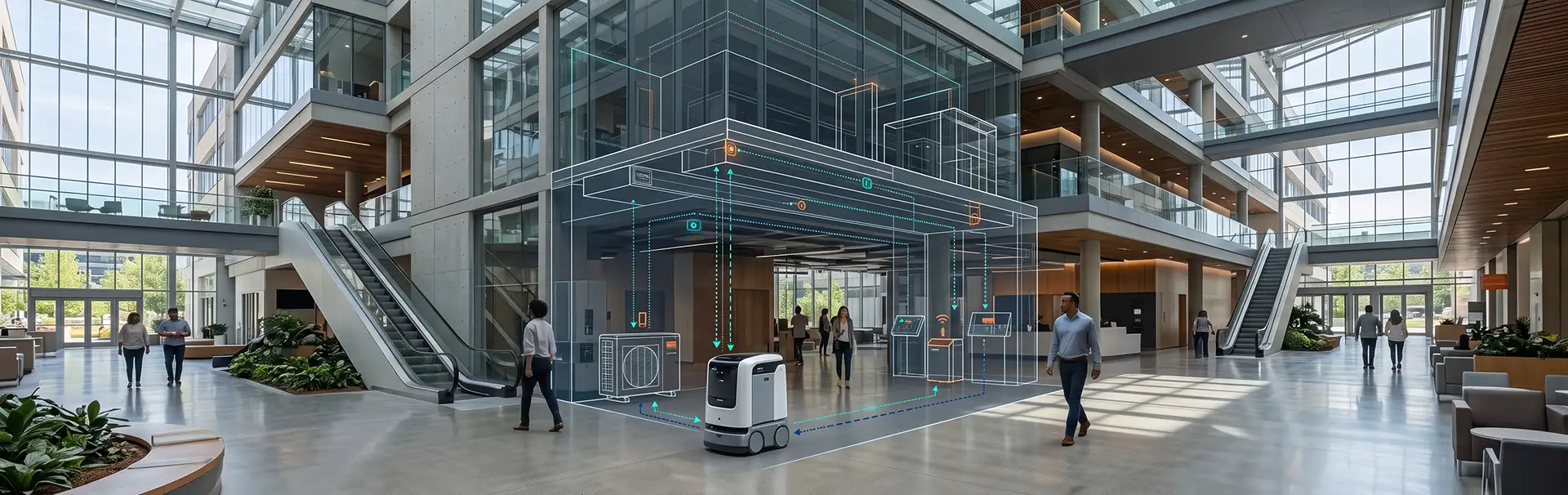
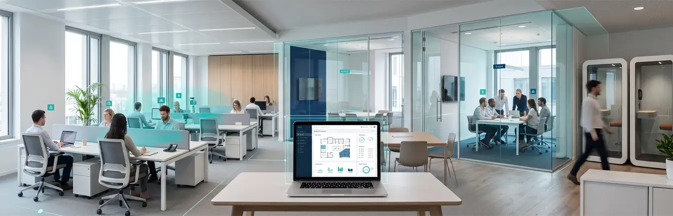
Campus Navigation software does more than guide users; it also supports broader operational goals for facility managers. By integrating with IoT devices and real-time location systems (RTLS), these solutions enable facilities to track assets, monitor foot traffic patterns, and optimize space usage. This data-driven approach not only enhances the user experience but also improves overall campus management and resource allocation.
For campuses looking to streamline operations, Vicinia offers a comprehensive solution that combines Indoor Wayfinding with advanced analytics. Understanding how people move through a space allows administrators to make informed decisions about building maintenance, security staffing, and even energy usage in specific zones.
4. Elevating the Student and Visitor Experience
The benefits of real-time updates and dynamic routing extend far beyond basic navigation. By embracing advanced tools like Vicinia’s solutions, institutions can create smarter, more connected environments that prioritize user needs. Whether it is helping new students find their lecture halls, guiding patients to medical appointments in a hospital wing, or directing visitors to specific event venues, the possibilities are limitless.
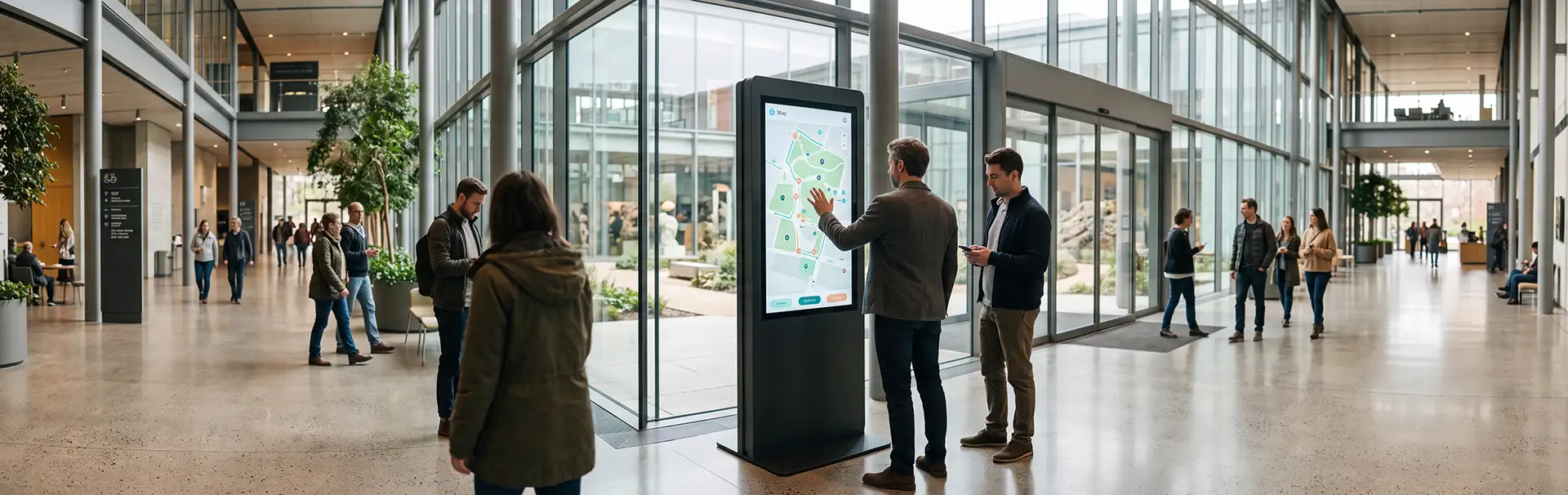
Institutions can leverage Digital Campus Maps to showcase points of interest, dining options, and student services, making the campus feel more accessible. Explore Vicinia’s full suite of solutions, including Digital Wayfinding Kiosks and interactive software, to see how your campus can evolve into a model of innovation.
5. Implementing Advanced Indoor Mapping Software
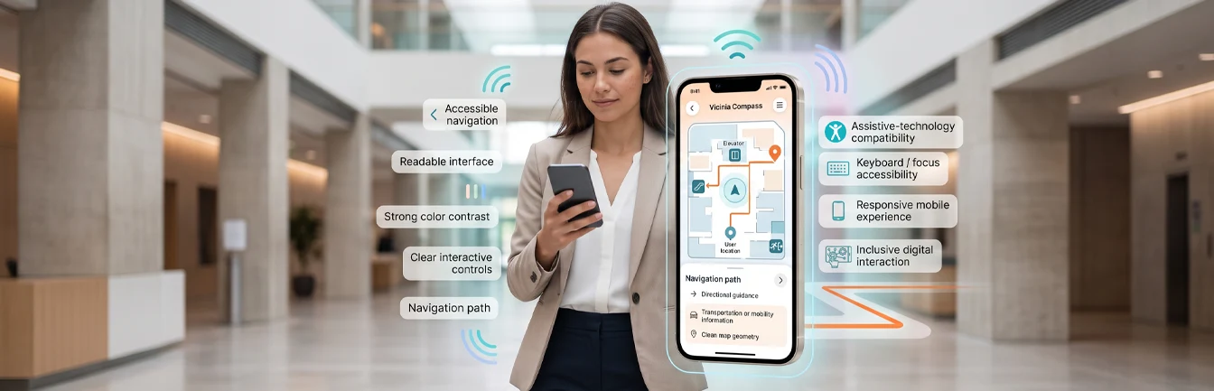
Navigating multi-building environments like university campuses, hospitals, or corporate offices can be challenging without a reliable indoor mapping system. Traditional directional signage often falls short, leaving visitors and employees frustrated. Indoor Wayfinding technology is transforming these experiences with real-time, user-friendly navigation solutions that reside right on a user’s mobile device.
Vicinia’s Indoor mapping software provides more than just a static image; it offers dynamic solutions that respond to the needs of every user. From providing step-by-step directions to integrating with interactive wayfinding kiosks, these solutions create a streamlined journey. Vicinia’s software combines digital kiosks and positioning technology, giving users directions tailored to their exact location. By scanning a QR code at a kiosk, users can take their route with them, ensuring they never lose their way in complex, multi-building layouts.