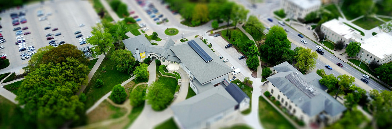

Great universities, corporations, hospitals, and theme parks eventually sprawl to occupy massive physical spaces. Although that’s the dream, multi-building complexes present navigation challenges that can sour the experience for users. Before looking at how indoor mapping software can help people and assets get around, it’ll help to understand the challenges.
Challenges presented by multi-building complexes
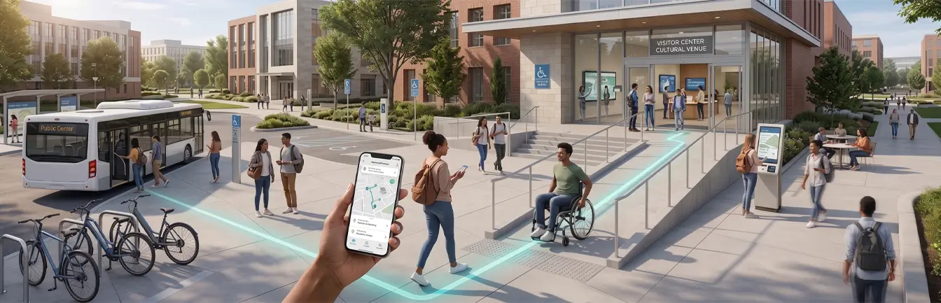
Multi-building complexes are usually not organized in an orderly manner, confusing anyone trying to move from point A to B. Confusing routes make it harder for people moving heavy equipment. Multi-building complexes sometimes lack clear signage. Signage, when available, might be inaccessible to people with visual impairments.
Distances within these buildings can be quite long. Others have long, winding stairs, making it tough for users with mobility challenges. It’s common to witness crowded lifts and passages, stalling movement, and waste precious time.
Movement becomes even more urgent when emergency situations arise. If there’s a fire, it’s imperative evacuations happen in the shortest possible time.
How real-time indoor maps and wayfinding technology improve efficiency, accessibility, and visitor experience
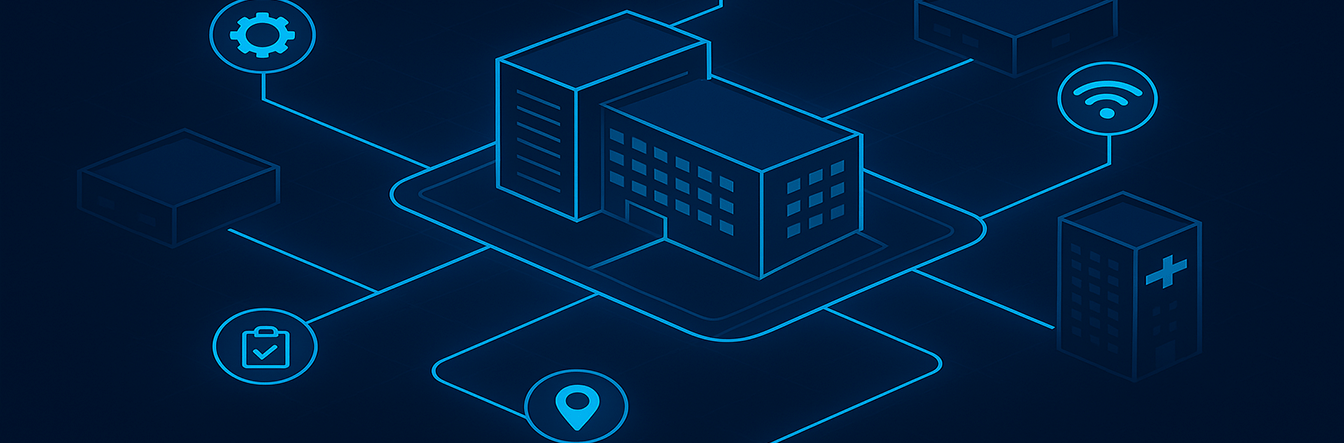
Indoor maps are digital representations of physical buildings that can be accessed on computers, phones, and mobile devices. Here are some ways the technology can facilitate campus navigation.
Turn-by-turn navigation
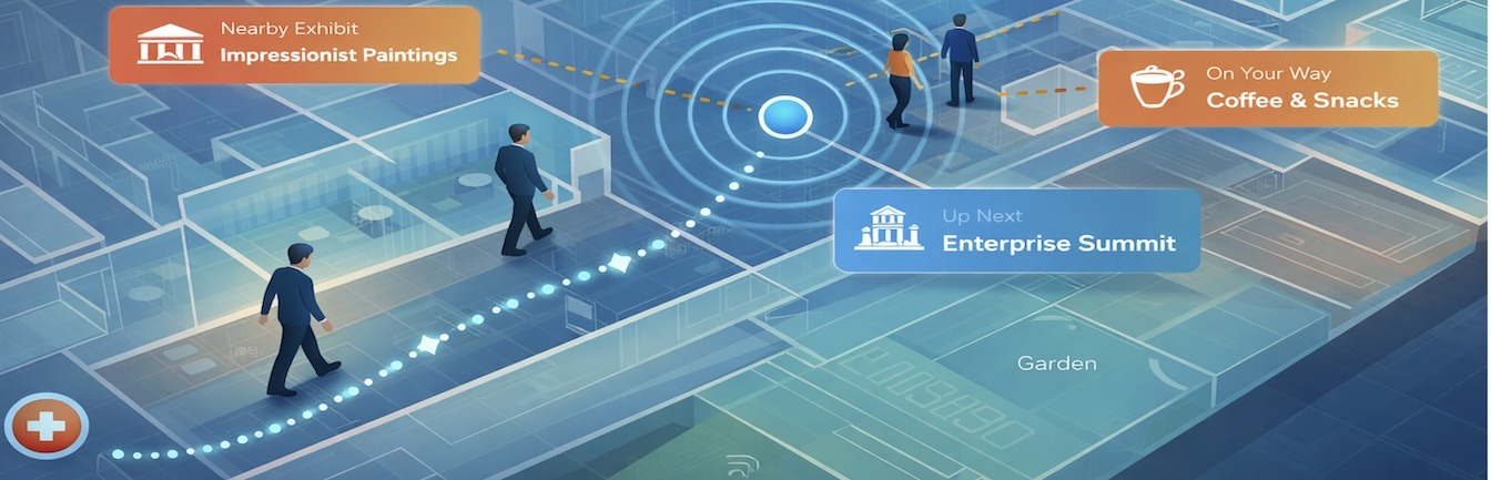
Indoor mapping software has interactive features that guide users every step of the way, telling them when to turn, access the shortest possible route, and stop. Indoor positioning systems (IPS) monitor the current state of traffic on campus, redirecting users if passages are blocked or overcrowded. That’s the case at Stanford, where the university’s indoor navigation system guides students and staff to lecture halls, libraries, and events in real-time.
Mobile integration
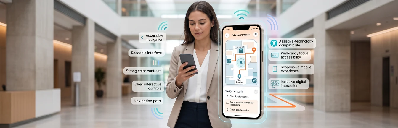
Indoor positioning apps on users’ phones can leverage preferences to personalize experiences. The app then shows your events and destinations based on your interest. Reminders, scheduling, and guiding a user through the path of least resistance with alerts can contribute to a wholesome visit. Cleveland Clinic deploys such a system to direct people towards elevators and rams to sidestep stress and traffic.
Real-time location tracking
Indoor positioning systems in hospitals track assets like wheelchairs and medical equipment. They can be quickly deployed to where they’re needed. Tracking patients leads to faster emergency response and treatment. The same system can be applied to malls and factories.
Optimizing space utilization
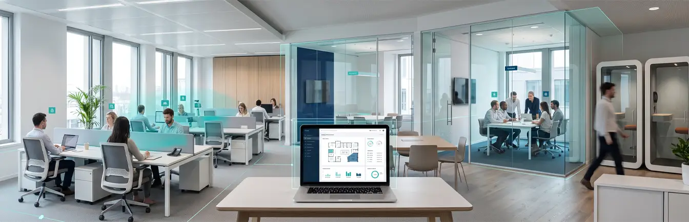
By collecting and analyzing data about when and where staff at an office or visitors at a theme park spend the most time, you can efficiently allocate space and schedule meetings. Mayo Clinic accomplishes this by informing staff when certain spaces will be available.
Indoor mapping for your business
It’s a sign of our times that airports like Chicago O’Hare now use indoor navigation systems to help passengers reach gates, locate stores, and claim baggage. You don’t have to be a massive business to incorporate the technology. Give it a try and see how indoor mapping software can help people find stuff in your stores, then scale up for even better results.