
Vicinia’s new K-12 safety mapping platform delivers digital twins that boost campus safety, communication, and emergency response.
“Vicinia’s school safety maps are not just visual layouts—they’re living safety tools built to protect students and staff when seconds matter.”— Farshad Lahouti, CEO of Vicinia
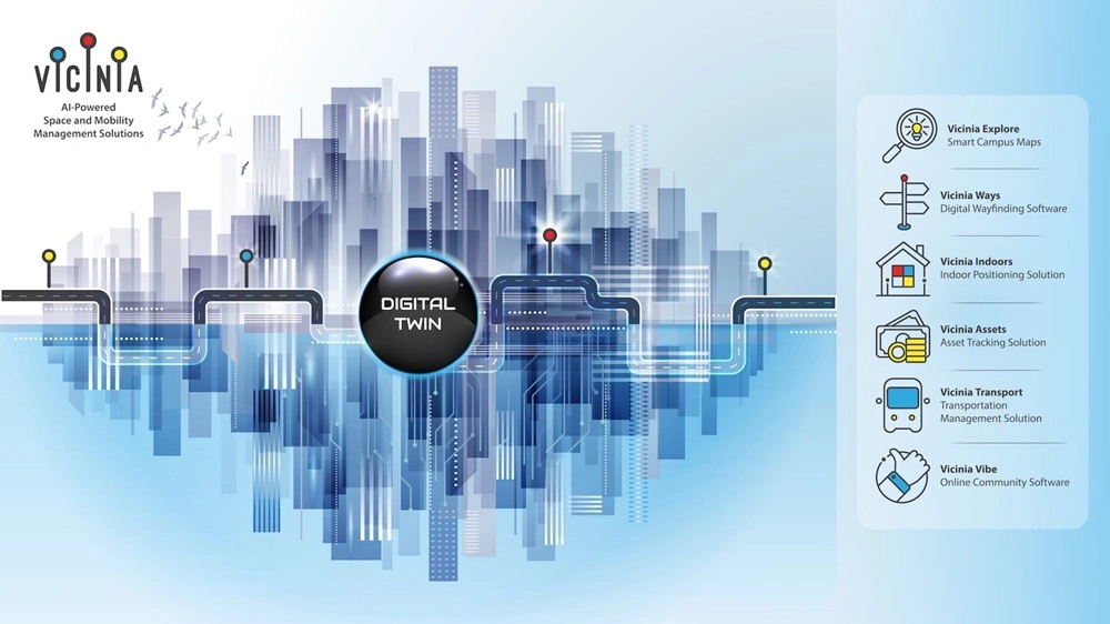
Vicinia, a digital twin company specializing in spatial intelligence for schools, campuses, and communities, today announced the expansion of its K-12 School Safety Mapping platform, delivering next-generation digital school maps that improve emergency response, communication, and preparedness across districts.
As more states require digital safety maps for school security and critical incident response, districts need technology that goes beyond static floor plans. Vicinia’s platform creates intelligent digital twins of schools that integrate directly with first responder systems, CAD dispatch software, and school safety technologies—empowering responders and administrators with real-time, actionable information.
By combining compliance-driven mapping with integrated communication tools, Vicinia helps schools strengthen emergency preparedness and foster a safer learning environment.
Safety and Critical Response Layers
Vicinia’s school safety mapping includes all essential layers to support fast and accurate emergency coordination:
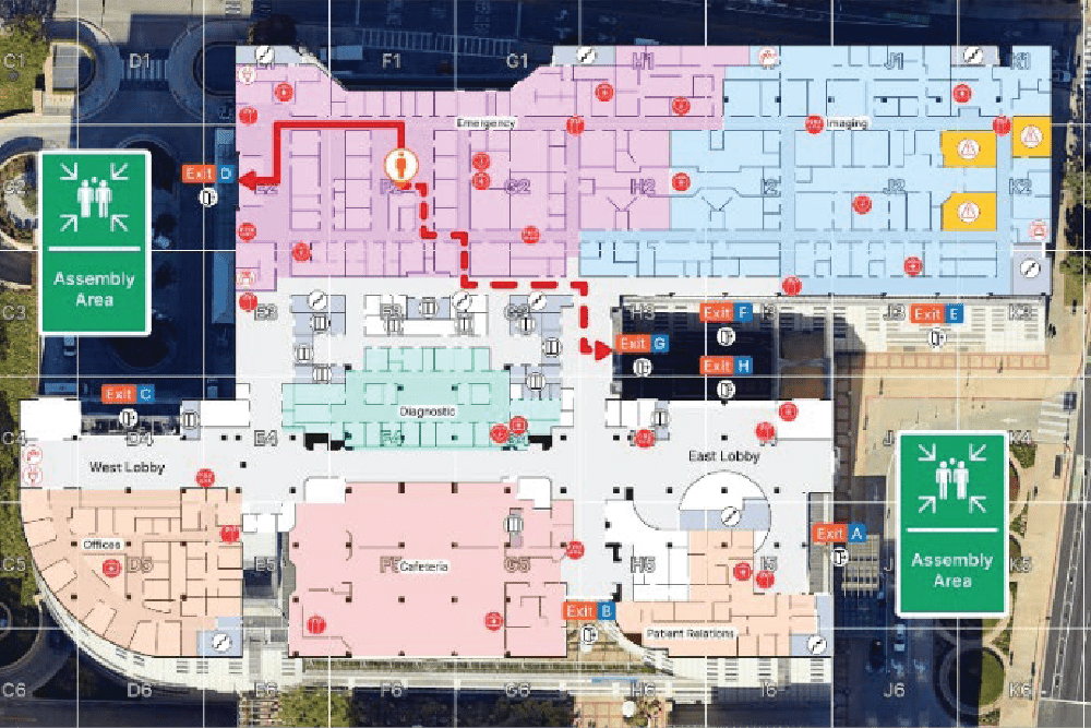
- Building layouts with labeled rooms, stairwells, doors, and utilities
- Life-safety assets such as AEDs, trauma kits, and fire extinguishers
- Hazard zones including labs, chemical storage, and mechanical rooms
- Evacuation routes, ADA-compliant mobility paths, and assembly points
- Digital and print-ready maps for administrators, staff, and first responders
Each map is aligned to true north and includes grid overlays for precision, ensuring responders can locate points of interest instantly. Maps are securely distributed to 911 dispatch centers, CAD systems, and public safety agencies via Vicinia’s open API integrations.
First Responder and Communication Integrations
Vicinia’s safety platform integrates seamlessly into CAD and 911 dispatch systems, so maps flow directly into first responder software without extra steps or third-party tools. It also connects with leading school safety and communication platforms such as RapidSOS, Raptor Technologies, Everbridge, Rave Mobile Safety, and Verkada, creating a connected ecosystem for school response.
Districts can also add smart ID tags and teacher duress buttons—wearable cards or badges that trigger instant alerts and location data through Vicinia’s map interface—enabling faster, more coordinated responses during incidents.
Built for Compliance and Future-Readiness
Vicinia’s digital safety maps comply with PASS Guidelines and CISA best practices, supporting interoperability across systems and ensuring districts meet both state and federal safety mapping mandates. The platform’s secure U.S.-based hosting and API architecture make it scalable and future-ready as regulations evolve.
About Vicinia
Vicinia is a digital twin company specializing in school safety and spatial intelligence for campuses and communities. Founded in Pasadena, California, by Caltech professor Farshad Lahouti, Vicinia delivers secure, standards-based mapping solutions that enhance safety, emergency response, and communication across educational environments.
Vicinia’s Safety Schools Mapping – Give-Back Program
Are you a school district looking to enhance campus safety or comply with new mapping mandates?
Vicinia’s Public Schools Give-Back Program offers free digital safety mapping for qualifying public schools. Contact us today!