Ways

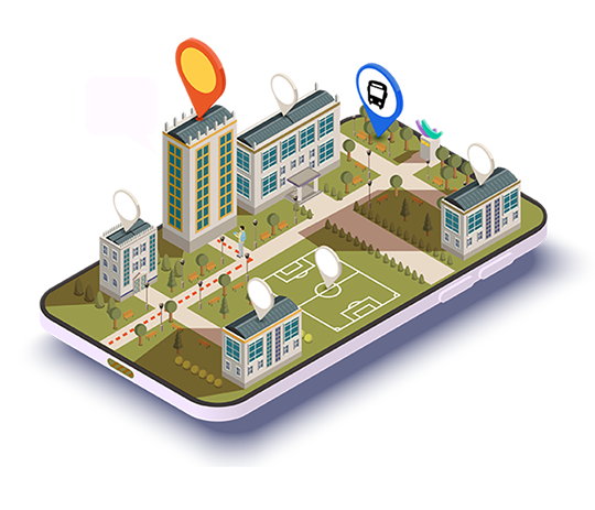
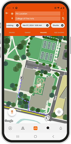
Campus Navigation
Parking designation and management around facilities. Fully automated routing with online access management. Mixed-mode navigation (walk, ride-share, drive)

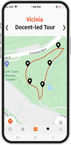
Tours
Quality self-guided tours with rich media are always available in person and online
Shuttle Management
Efficient route planning, scheduling, and monitoring for corporate shuttles and campus transportation, leveraging GTFS technology alongside real-time vehicle tracking and insightful analytics.
Campus Navigation
Parking designation and management around facilities. Fully automated routing with online access management. Mixed-mode navigation (walk, ride-share, drive)
Tours
Quality self-guided tours with rich media are always available in person and online
Shuttle Management
Efficient route planning, scheduling, and monitoring for corporate shuttles and campus transportation, leveraging GTFS technology alongside real-time vehicle tracking and insightful analytics.
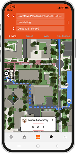
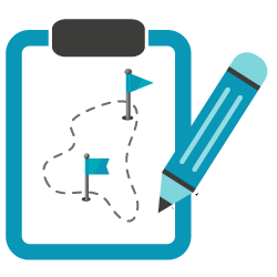
Chaperone Your Visitors
Provide personalized guidance for your visitors through campus to the destination office with Vicinia's Digital Wayfinding Software as their virtual chaperone.

Hassle-free Parking Management
Plan parking access around campus with only a few clicks and guide visitors simply on their mobile phones. No more manual or cardboard signage!
Learn, relate & inspire
Create personalized tours around campus, let people indulge in exciting sights and stories that relate to them.
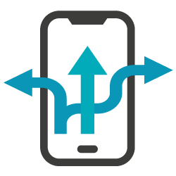
Improve Transportation Efficiency
Plan more accessible and desirable routes and schedules for your corporate fleet to improve convenience, reduced traffic or simply better use of existing resources.